Cof Cymru: National Historic Assets of Wales · Wales
Former Tourist Information Centre
Rhayader, Powys, Wales
A Grade II listed building in Rhayader, Powys, designated on 31 July 1995.
The record
- Designation
- Listed building, Grade II
- Broad class
- Recreational
- Date of designation
- 31 July 1995
- Community
- Rhayader
- Unitary authority
- Powys
- Country
- Wales
- Coordinates
- 52.30032, -3.51051
- Cadw reference
- 16191
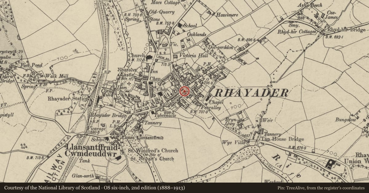
Slide toward Today to fade the historical sheet and see the modern map underneath.
David Rumsey Map Collection, Stanford LibrariesDavid Rumsey Map Collection, Stanford LibrariesDavid Rumsey Map Collection, Stanford LibrariesDavid Rumsey Map Collection, Stanford LibrariesDavid Rumsey Map Collection, Stanford Libraries
5 historical maps cover this location, the earliest the 1608 map "(13) Cambriae Typus." (David Rumsey Map Collection, Stanford Libraries).
Historical maps covering this location
- 1608 · (13) Cambriae Typus. (David Rumsey Map Collection, Stanford Libraries)
- 1637 · Particular description of Wales. Cambria seu Wallia (David Rumsey Map Collection, Stanford Libraries)
- 1883 · Watershed map England, Wales 3. (David Rumsey Map Collection, Stanford Libraries)
- 1898 · 179 Rhyader (Hills) (David Rumsey Map Collection, Stanford Libraries)
- 1901 · Sheet 14. (David Rumsey Map Collection, Stanford Libraries)
Cadw's description
Location
Near main town crossroads.
History
Formerly part of Old Swan Inn.
Bears date 1683, formerly 2-storey porch of inn.
Exterior
Rendered, old slate roof, three stone chimney stacks, set diagonally, towards rear, stacks have pronounced lean to R, central stack extended upwards in brick. Gable end faces street; bracketed gable overhangs first floor window; first floor jettied over shop window. To L, render removed to expose timber with repeated date '1683'. return to L, has small-pane shop window (weatherboarding below), and half-glazed entrance doorway.
Reason for designation
Included as one of oldest buildings in town.
Group value.
Nearby in the register
- Shop on S CornerCommercialunder 1 mi
- Clock TowerGardens, Parks and Urban Spacesunder 1 mi
- Corner ShopCommercialunder 1 mi
- YMCA BuildingHealth and Welfareunder 1 mi
Other entries of the same register within about three miles of this one, by straight line.