Cof Cymru: National Historic Assets of Wales · Wales
YMCA Building
Rhayader, Powys, Wales
A Grade II listed building in Rhayader, Powys, designated on 31 July 1995.
The record
- Designation
- Listed building, Grade II
- Broad class
- Health and Welfare
- Date of designation
- 31 July 1995
- Community
- Rhayader
- Unitary authority
- Powys
- Country
- Wales
- Coordinates
- 52.30018, -3.50930
- Cadw reference
- 16185
Slide toward Today to fade the historical sheet and see the modern map underneath.
David Rumsey Map Collection, Stanford LibrariesDavid Rumsey Map Collection, Stanford LibrariesDavid Rumsey Map Collection, Stanford LibrariesDavid Rumsey Map Collection, Stanford LibrariesDavid Rumsey Map Collection, Stanford Libraries
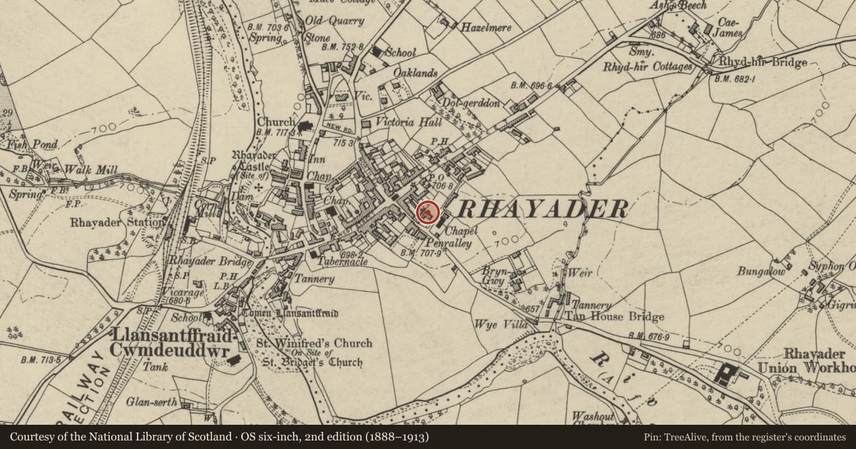
5 historical maps cover this location, the earliest the 1608 map "(13) Cambriae Typus." (David Rumsey Map Collection, Stanford Libraries).
Historical maps covering this location
- 1608 · (13) Cambriae Typus. (David Rumsey Map Collection, Stanford Libraries)
- 1637 · Particular description of Wales. Cambria seu Wallia (David Rumsey Map Collection, Stanford Libraries)
- 1883 · Watershed map England, Wales 3. (David Rumsey Map Collection, Stanford Libraries)
- 1898 · 179 Rhyader (Hills) (David Rumsey Map Collection, Stanford Libraries)
- 1901 · Sheet 14. (David Rumsey Map Collection, Stanford Libraries)
Cadw's description
Location
On corner with S street, front faces E.
Exterior
Early to mid C19. Two storey, three window house. Grey coursed stone, hipped slate roof, two stone chimneys towards ridge. First floor has three 16-pane hornless sash windows. Ground floor has central doorway with classicising surround, six-panelled door with diamond-paned overlight; doorway flanked by 16-pane sash windows. Side elevation to L (S) has two 16-pane hornless sash windows to each floor. To rear, facing South street, is later C19 extension in similar style and materials.
Reason for designation
Largely unaltered example of late Georgian house.
Nearby in the register
- Attached House to Penrally including forecourt railingsDomesticunder 1 mi
- Penrally House including forecourt railingsDomesticunder 1 mi
- Corner ShopCommercialunder 1 mi
- Shop on S CornerCommercialunder 1 mi
Other entries of the same register within about three miles of this one, by straight line.