Cof Cymru: National Historic Assets of Wales · Wales
Lych-Gate to Christ Church Parish Church
Meifod, Powys, Wales
A Grade II listed building in Bwlch-y-Cibau, Meifod, Powys, designated on 26 May 1995.
The record
- Designation
- Listed building, Grade II
- Broad class
- Religious, Ritual and Funerary
- Date of designation
- 26 May 1995
- Locality
- Bwlch-y-Cibau
- Community
- Meifod
- Unitary authority
- Powys
- Country
- Wales
- Coordinates
- 52.74829, -3.21872
- Cadw reference
- 15959
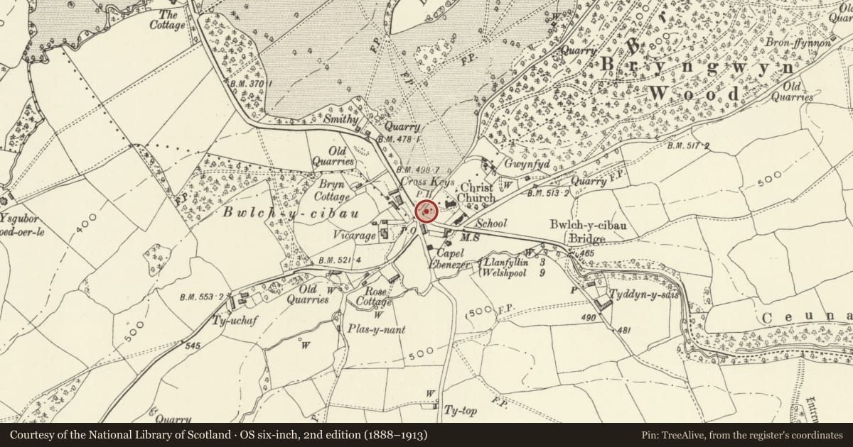
Slide toward Today to fade the historical sheet and see the modern map underneath.
David Rumsey Map Collection, Stanford LibrariesDavid Rumsey Map Collection, Stanford LibrariesDavid Rumsey Map Collection, Stanford LibrariesDavid Rumsey Map Collection, Stanford LibrariesLlyfrgell Genedlaethol Cymru – The National Library of Wales
5 historical maps cover this location, the earliest the 1795 map "To Sir Watkin Williams-Wynn Bart ... the map of the six counties of North Wales is most humbly inscribed by his obedient humble servant" (Llyfrgell Genedlaethol Cymru – The National Library of Wales).
Historical maps covering this location
- 1795 · To Sir Watkin Williams-Wynn Bart ... the map of the six counties of North Wales is most… (Llyfrgell Genedlaethol Cymru – The National Library of Wales)
- 1883 · Watershed map England, Wales 3. (David Rumsey Map Collection, Stanford Libraries)
- 1897 · 137 Oswestry (Hills) (David Rumsey Map Collection, Stanford Libraries)
- 1901 · Sheet 9 and 10. (David Rumsey Map Collection, Stanford Libraries)
- 1916 · Sheet 60. Shrewsbury. (David Rumsey Map Collection, Stanford Libraries)
Cadw's description
Location
Located at the crossroads at the centre of the village, and the corner of the sloping churchyard.
History
1860-70.
Exterior
Rubble walls with stone dressings on which is mounted open timber framed arcades carrying an open raftered tiled roof with prominent gable crosses. The roof is carried on cambered tie beams with bracketed crown post struts; the ties being inscribed on their outer faces with simple lettered inscriptions. External gates with pierced trefoils and inserted iron fleurs.
Within the porch, timber coffin rests on either side.
Reason for designation
Included as being of group value with the church, at the centre of the village.
Nearby in the register
- Drinking FountainGardens, Parks and Urban Spacesunder 1 mi
- Sundial in the Churchyard to Christ Church Parish ChurchGardens, Parks and Urban Spacesunder 1 mi
- Christ Church Parish ChurchReligious, Ritual and Funeraryunder 1 mi
- Bwlch-y-Cibau EnclosureEnclosureunder 1 mi
Other entries of the same register within about three miles of this one, by straight line.