Cof Cymru: National Historic Assets of Wales · Wales
Outbuildings on E side of Farm Court at Penralltddu
Cilgerran, Pembrokeshire, Wales
A Grade II listed building in Llantood, Cilgerran, Pembrokeshire, designated on 15 April 1994.
The record
- Designation
- Listed building, Grade II
- Broad class
- Agriculture and Subsistence
- Date of designation
- 15 April 1994
- Locality
- Llantood
- Community
- Cilgerran
- Unitary authority
- Pembrokeshire
- Country
- Wales
- Coordinates
- 52.05062, -4.66960
- Cadw reference
- 14522
Slide toward Today to fade the historical sheet and see the modern map underneath.
David Rumsey Map Collection, Stanford LibrariesDavid Rumsey Map Collection, Stanford LibrariesDavid Rumsey Map Collection, Stanford LibrariesDavid Rumsey Map Collection, Stanford LibrariesDavid Rumsey Map Collection, Stanford Libraries
5 historical maps cover this location, the earliest the 1608 map "(13) Cambriae Typus." (David Rumsey Map Collection, Stanford Libraries).
Historical maps covering this location
- 1608 · (13) Cambriae Typus. (David Rumsey Map Collection, Stanford Libraries)
- 1830 · V.3:11-15:XV. Britisches Reich. A. Kon: England. b. Frstenthum Wales: Shire: 37-40 (David Rumsey Map Collection, Stanford Libraries)
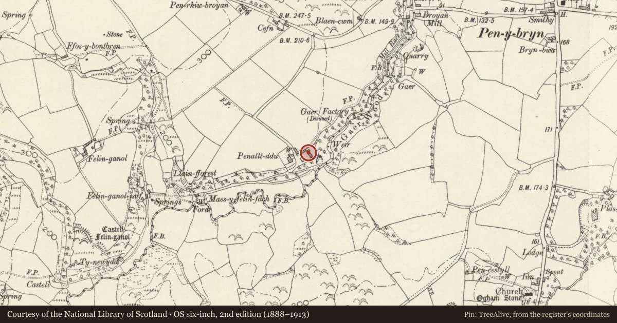
- 1891 · Sheet 10. Ordnance Survey of England and Wales. . (David Rumsey Map Collection, Stanford Libraries)
- 1898 · 193 Cardigan (Hills) (David Rumsey Map Collection, Stanford Libraries)
- 1901 · Sheet 13. (David Rumsey Map Collection, Stanford Libraries)
Cadw's description
Location
Situated facing the rear of old farmhouse.
Exterior
1838 and later C19 barn and lofted cow-house. Rubble stone with slate roofs. 1838 range to left has two doors with cut-stone voussoirs to cambered heads, voussoirs of left door in Cilgerran slate and to right door of sandstone. One loop between. Over the left door is a diamond plaque 'J Bowen Esq Built 1838'. To left of plaque is projecting iron wheel for belt-driven machinery. Single interior space with tie-beam and collar trusses. Rear door with sandstone voussoirs and C20 opening. Range to right is stepped down slope with lower roof, two loft openings under eaves and central door with cambered head and sandstone voussoirs. Stable door. One loop each side. Lean-to on S end.
Reason for designation
Included as part of exceptional group of farm buildings with 1861 farmhouse.
Nearby in the register
- Former Farmhouse at PenralltdduDomesticunder 1 mi
- Outbuilding on E side of drive at PenralltdduDomesticunder 1 mi
- Outbuilding to rearof Farmhouse at PenralltdduDomesticunder 1 mi
- PenralltdduDomesticunder 1 mi
Other entries of the same register within about three miles of this one, by straight line.