Cof Cymru: National Historic Assets of Wales · Wales
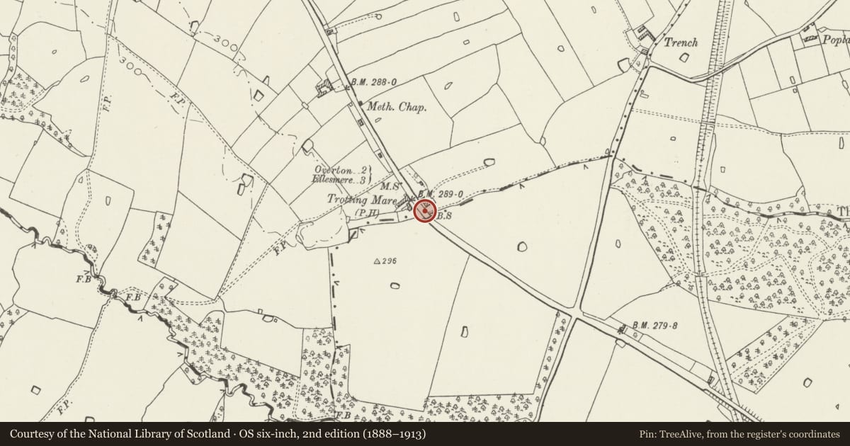
Mile Post adjacent to Trotting Mare Public House
Overton, Wrexham, Wales
A Grade II listed building in South Knolton, Overton, Wrexham, designated on 15 March 1994.
The record
- Designation
- Listed building, Grade II
- Broad class
- Transport
- Date of designation
- 15 March 1994
- Locality
- South Knolton
- Community
- Overton
- Unitary authority
- Wrexham
- Country
- Wales
- Coordinates
- 52.94248, -2.92467
- Cadw reference
- 14489
Slide toward Today to fade the historical sheet and see the modern map underneath.
David Rumsey Map Collection, Stanford LibrariesDavid Rumsey Map Collection, Stanford LibrariesDavid Rumsey Map Collection, Stanford LibrariesDavid Rumsey Map Collection, Stanford LibrariesDavid Rumsey Map Collection, Stanford Libraries
5 historical maps cover this location, the earliest the 1608 map "(13) Cambriae Typus." (David Rumsey Map Collection, Stanford Libraries).
Historical maps covering this location
- 1608 · (13) Cambriae Typus. (David Rumsey Map Collection, Stanford Libraries)
- 1637 · Particular description of Wales. Cambria seu Wallia (David Rumsey Map Collection, Stanford Libraries)
- 1830 · V.3:11-15:XV.Britisches Reich. A. Kon: England. a. England ab sich: Shire:15-17, 33 (David Rumsey Map Collection, Stanford Libraries)
- 1883 · Watershed map England, Wales 3. (David Rumsey Map Collection, Stanford Libraries)
- 1901 · Sheet 9 and 10. (David Rumsey Map Collection, Stanford Libraries)
Cadw's description
Location
Alongside the road, adjacent to the car park of the Trotting Mare Public House on the boundary of Overton Community.
History
Mile post. Probably late C18 or early C19.
Exterior
Round arched stone post c2 feet high, carrying a round arched cast iron plate, with lettering: ‘To Ellesmere 4m Wrexham 9 M’.
Reason for designation
A good example of mile post design of a type which is becoming rare.
Nearby in the register
- Knolton Mission ChurchReligious, Ritual and Funeraryunder 1 mi
- Top FarmhouseDomesticunder 1 mi
- The HomesteadDomestic1 mi
- Mile Post opposite drive to QueensbridgeTransport1 mi
Other entries of the same register within about three miles of this one, by straight line.