Cof Cymru: National Historic Assets of Wales · Wales
Metcalfe Building
Overton, Wrexham, Wales
A Grade II listed building in Overton, Wrexham, designated on 15 March 1994.
The record
- Designation
- Listed building, Grade II
- Broad class
- Commercial
- Date of designation
- 15 March 1994
- Community
- Overton
- Unitary authority
- Wrexham
- Country
- Wales
- Coordinates
- 52.97084, -2.93473
- Cadw reference
- 14440
Slide toward Today to fade the historical sheet and see the modern map underneath.
David Rumsey Map Collection, Stanford LibrariesDavid Rumsey Map Collection, Stanford LibrariesDavid Rumsey Map Collection, Stanford LibrariesDavid Rumsey Map Collection, Stanford LibrariesDavid Rumsey Map Collection, Stanford Libraries
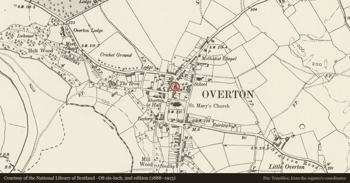
5 historical maps cover this location, the earliest the 1608 map "(13) Cambriae Typus." (David Rumsey Map Collection, Stanford Libraries).
Historical maps covering this location
- 1608 · (13) Cambriae Typus. (David Rumsey Map Collection, Stanford Libraries)
- 1637 · Particular description of Wales. Cambria seu Wallia (David Rumsey Map Collection, Stanford Libraries)
- 1830 · V.3:11-15:XV.Britisches Reich. A. Kon: England. a. England ab sich: Shire:15-17, 33 (David Rumsey Map Collection, Stanford Libraries)
- 1883 · Watershed map England, Wales 3. (David Rumsey Map Collection, Stanford Libraries)
- 1901 · Sheet 9 and 10. (David Rumsey Map Collection, Stanford Libraries)
Cadw's description
Location
Part of a continuous building line on High Street, adjoining the White Horse Public House.
Exterior
Possibly built as a row of 3 houses, but now in use as 2 shops with accommodation over; originally built in the mid - late C18, but remodelled in the mid C19. Painted brick with slate roof with red tiled cresting. Two and a half storeys, 3 window range. Lower shop fronts are all recent insertions, but remains of plat band in return elevation suggests C18 origin of the building. First floor windows are 12-pane sashes with cambered brick heads with stressed key stones: these openings may be C18. Gabled dormers with 9-pane sashes, dentilled eaves and roof with end wall and axial stacks probably part of C19 remodelling.
Reason for designation
Included for group value with other listed buildings on High Street.
Nearby in the register
- Metcalfe BuildingCommercialunder 1 mi
- White Horse Public HouseCommercialunder 1 mi
- White CottageDomesticunder 1 mi
- 3 High StreetDomesticunder 1 mi
Other entries of the same register within about three miles of this one, by straight line.