Cof Cymru: National Historic Assets of Wales · Wales
Pont Treseli
Cenarth, Carmarthenshire, Wales
A Grade II listed building in Partly in Manordeifi Community, Preseli Pembs. Dis, Pontseli, Cenarth, Carmarthenshire, designated on 2 March 1994.
The record
- Designation
- Listed building, Grade II
- Broad class
- Transport
- Date of designation
- 2 March 1994
- Locality
- Partly in Manordeifi Community, Preseli Pembs. Dis
- Town
- Pontseli
- Community
- Cenarth
- Unitary authority
- Carmarthenshire
- Country
- Wales
- Coordinates
- 52.03112, -4.55118
- Cadw reference
- 14251
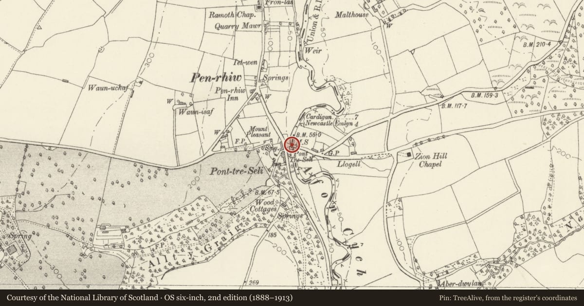
Slide toward Today to fade the historical sheet and see the modern map underneath.
David Rumsey Map Collection, Stanford LibrariesDavid Rumsey Map Collection, Stanford LibrariesDavid Rumsey Map Collection, Stanford LibrariesDavid Rumsey Map Collection, Stanford LibrariesDavid Rumsey Map Collection, Stanford Libraries
5 historical maps cover this location, the earliest the 1608 map "(13) Cambriae Typus." (David Rumsey Map Collection, Stanford Libraries).
Historical maps covering this location
- 1608 · (13) Cambriae Typus. (David Rumsey Map Collection, Stanford Libraries)
- 1830 · V.3:11-15:XV. Britisches Reich. A. Kon: England. b. Frstenthum Wales: Shire: 37-40 (David Rumsey Map Collection, Stanford Libraries)
- 1891 · Sheet 10. Ordnance Survey of England and Wales. . (David Rumsey Map Collection, Stanford Libraries)
- 1898 · 211 Newcastle Emlyn (Hills) (David Rumsey Map Collection, Stanford Libraries)
- 1901 · Sheet 14. (David Rumsey Map Collection, Stanford Libraries)
Cadw's description
Location
Situated over the River Cych, below Abercych village, on the county boundary.
Exterior
Late C18 or early C19 road bridge over the Cych, rubble stone single arch with recessed arch ring of long voussoirs and keystone. Two cylindrical holes through the arch spandrels. Rubble stone parapets with rough slate coping.
Reason for designation
Bridge construction with hollow spandrels is derived from the design of Cenarth Bridge.
Nearby in the register
- Capel BrynseionReligious, Ritual and Funeraryunder 1 mi
- Ramoth Baptist ChurchReligious, Ritual and Funeraryunder 1 mi
- Outbuilding on E Side of Farmyard at GellidegAgriculture and Subsistenceunder 1 mi
- Range of outbuildings on W Side of Farmyard at GellidegAgriculture and Subsistenceunder 1 mi
Other entries of the same register within about three miles of this one, by straight line.