Cof Cymru: National Historic Assets of Wales · Wales
Garden Walls to White House Cottage
Llandaff, Cardiff, Wales
A Grade II listed building in Llandaff, Cardiff, designated on 19 May 1975.
The record
- Designation
- Listed building, Grade II
- Broad class
- Domestic
- Date of designation
- 19 May 1975
- Locality
- Llandaff
- Town
- Cardiff
- Community
- Llandaff
- Unitary authority
- Cardiff
- Country
- Wales
- Coordinates
- 51.49485, -3.21812
- Cadw reference
- 13716
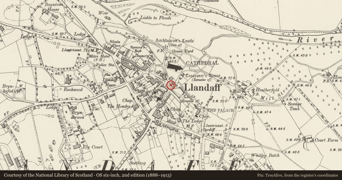
Slide toward Today to fade the historical sheet and see the modern map underneath.
David Rumsey Map Collection, Stanford LibrariesDavid Rumsey Map Collection, Stanford LibrariesDavid Rumsey Map Collection, Stanford LibrariesDavid Rumsey Map Collection, Stanford LibrariesDavid Rumsey Map Collection, Stanford Libraries
5 historical maps cover this location, the earliest the 1636 map "Cornubia : Devonia, Somersetus, Dorcestria, Wiltonia, Glocestria ..." (David Rumsey Map Collection, Stanford Libraries).
Historical maps covering this location
- 1636 · Cornubia : Devonia, Somersetus, Dorcestria, Wiltonia, Glocestria ... (David Rumsey Map Collection, Stanford Libraries)
- 1637 · The fourth table of England. Cornub. Devonia, Somerset etc. (David Rumsey Map Collection, Stanford Libraries)
- 1865 · England and Wales. England No. 6. (David Rumsey Map Collection, Stanford Libraries)
- 1898 · 263 Cardiff (Hills) (David Rumsey Map Collection, Stanford Libraries)
- 1913 · Sheet 110. Cardiff & Mouth of the Severn. (David Rumsey Map Collection, Stanford Libraries)
Cadw's description
Location
These walls enclose the front garden to White House Cottage to the south-west of the house, and also to the east where they connect the house with the rear outbuildings.
History
Probably C18 and contemporary with the house. There is a cottage shown in this position on John Speed's plan of 1610 but its orientation is different and no walls are shown.
Exterior
Walls of stone rubble. Wall to south-west of house with brick coping; square brick gate piers flank entrance to front garden. Section of wall to east of house with embattled parapet.
Reason for designation
Included for group value as a part of the setting for the other listed buildings on The Cathedral Green.
Nearby in the register
- St. Teilo's WellWater Supply and Drainageunder 1 mi
- White House CottageDomesticunder 1 mi
- 2 High StreetCommercialunder 1 mi
- 1 The Cathedral GreenDomesticunder 1 mi
Other entries of the same register within about three miles of this one, by straight line.