Cof Cymru: National Historic Assets of Wales · Wales
The Belgian War Memorial
Milford Haven, Pembrokeshire, Wales
A Grade II listed building in Milford Haven, Pembrokeshire, designated on 22 February 1993.
The record
- Designation
- Listed building, Grade II
- Broad class
- Commemorative
- Date of designation
- 22 February 1993
- Community
- Milford Haven
- Unitary authority
- Pembrokeshire
- Country
- Wales
- Coordinates
- 51.71174, -5.03138
- Cadw reference
- 12900
Slide toward Today to fade the historical sheet and see the modern map underneath.
David Rumsey Map Collection, Stanford LibrariesDavid Rumsey Map Collection, Stanford LibrariesDavid Rumsey Map Collection, Stanford LibrariesDavid Rumsey Map Collection, Stanford LibrariesDavid Rumsey Map Collection, Stanford Libraries
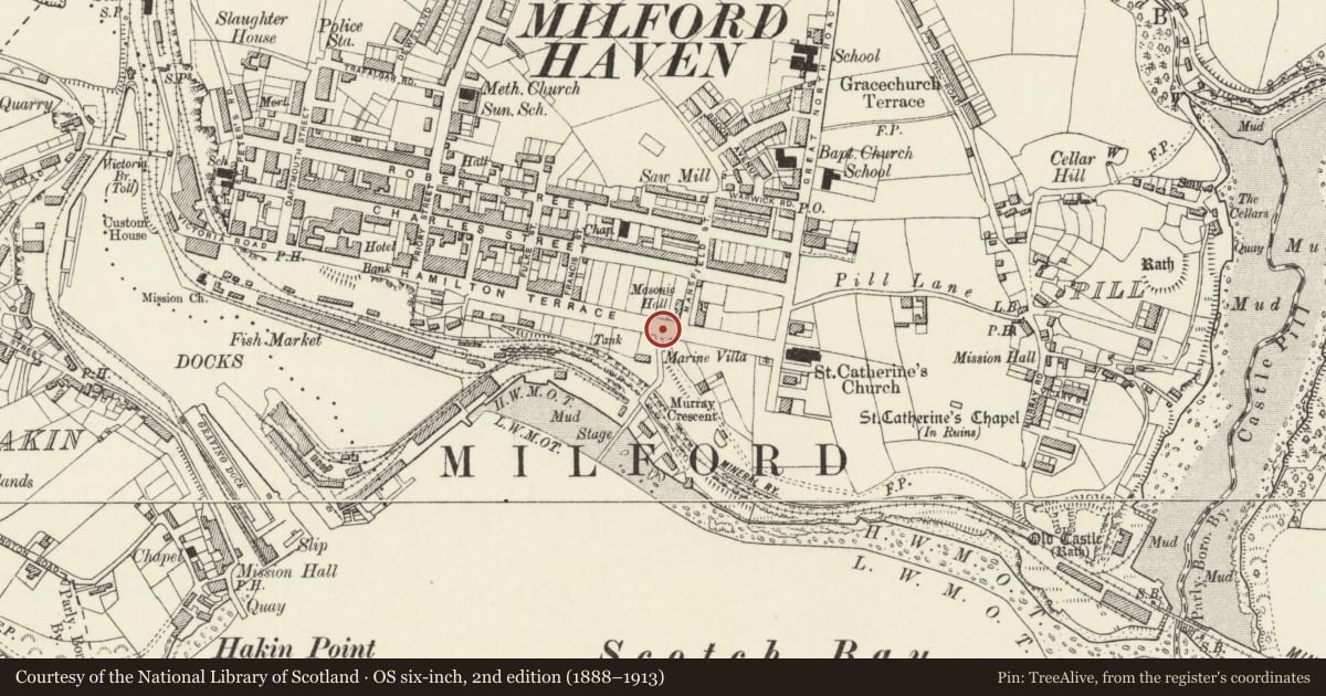
5 historical maps cover this location, the earliest the 1636 map "Cornubia : Devonia, Somersetus, Dorcestria, Wiltonia, Glocestria ..." (David Rumsey Map Collection, Stanford Libraries).
Historical maps covering this location
- 1636 · Cornubia : Devonia, Somersetus, Dorcestria, Wiltonia, Glocestria ... (David Rumsey Map Collection, Stanford Libraries)
- 1865 · England and Wales. England No. 6. (David Rumsey Map Collection, Stanford Libraries)
- 1898 · 227 Milford (Outline) (David Rumsey Map Collection, Stanford Libraries)
- 1898 · 227 Milford (Hills) (David Rumsey Map Collection, Stanford Libraries)
- 1901 · Sheet 13. (David Rumsey Map Collection, Stanford Libraries)
Cadw's description
Location
Situated at junction of The Rath and Hamilton Terrace.
Exterior
l9l9 War memorial in polished red granite, l6 feet overall obelisk on pedestal with corniced and pedimented cap and three-step base. Granite kerb ring around, originally with railings.
Inscription on pedestal 'erected by steam trawler owners and people of Ostend who were resident in this town during the Great War l9l4-l9l9' and repeated in Flemish.
Made by Evan Jones of Haverfordwest.
Reason for designation
Group value with other listed items along Hamilton Terrace.
Nearby in the register
- The Masonic HallInstitutionalunder 1 mi
- Hamilton HouseDomesticunder 1 mi
- Tabernacle Congregational ChapelReligious, Ritual and Funeraryunder 1 mi
- 119 Charles StreetDomesticunder 1 mi
Other entries of the same register within about three miles of this one, by straight line.