Cof Cymru: National Historic Assets of Wales · Wales
St Justinian's Well
St. David's and the Cathedral Close, Pembrokeshire, Wales
A Grade II listed building in Porthstinian/St Justinians, St. David's and the Cathedral Close, Pembrokeshire, designated on 28 July 1992.
The record
- Designation
- Listed building, Grade II
- Broad class
- Water Supply and Drainage
- Date of designation
- 28 July 1992
- Locality
- Porthstinian/St Justinians
- Community
- St. David's and the Cathedral Close
- Unitary authority
- Pembrokeshire
- Country
- Wales
- Coordinates
- 51.87902, -5.30815
- Cadw reference
- 12693
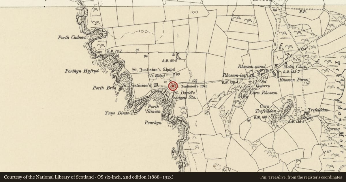
Slide toward Today to fade the historical sheet and see the modern map underneath.
David Rumsey Map Collection, Stanford LibrariesDavid Rumsey Map Collection, Stanford LibrariesDavid Rumsey Map Collection, Stanford LibrariesDavid Rumsey Map Collection, Stanford LibrariesDavid Rumsey Map Collection, Stanford Libraries
5 historical maps cover this location, the earliest the 1608 map "(13) Cambriae Typus." (David Rumsey Map Collection, Stanford Libraries).
Historical maps covering this location
- 1608 · (13) Cambriae Typus. (David Rumsey Map Collection, Stanford Libraries)
- 1636 · Cornubia : Devonia, Somersetus, Dorcestria, Wiltonia, Glocestria ... (David Rumsey Map Collection, Stanford Libraries)
- 1637 · Particular description of Wales. Cambria seu Wallia (David Rumsey Map Collection, Stanford Libraries)
- 1898 · 209 St David's (Hills) (David Rumsey Map Collection, Stanford Libraries)
- 1901 · Sheet 13. (David Rumsey Map Collection, Stanford Libraries)
Cadw's description
Location
Situated on southern side of lane some 30m E of steps down to lifeboat house.
History
Uncertain date, possibly C19. The spring is of great antiquity, connected with Saint Justinian.
Exterior
Rubble stone enclosure over fresh water spring, rounded with flat front to W, boarded door and monopitch stone slab roof. Structure is some 1.5m wide and deep and 1.2m high.
Nearby in the register
- St Justinian's ChapelChapelunder 1 mi
- Old Lifeboat HouseMaritimeunder 1 mi
- Lifeboat HouseMaritimeunder 1 mi
- Ruins of St Justinian's ChapelReligious, Ritual and Funeraryunder 1 mi
Other entries of the same register within about three miles of this one, by straight line.