Cof Cymru: National Historic Assets of Wales · Wales
Barometer Case against front wall of No. 19 Cross Square
St. David's and the Cathedral Close, Pembrokeshire, Wales
A Grade II listed building in St. David's and the Cathedral Close, Pembrokeshire, designated on 26 August 1981.
The record
- Designation
- Listed building, Grade II
- Broad class
- Gardens, Parks and Urban Spaces
- Date of designation
- 26 August 1981
- Community
- St. David's and the Cathedral Close
- Unitary authority
- Pembrokeshire
- Country
- Wales
- Coordinates
- 51.88090, -5.26613
- Cadw reference
- 12581
Slide toward Today to fade the historical sheet and see the modern map underneath.
David Rumsey Map Collection, Stanford LibrariesDavid Rumsey Map Collection, Stanford LibrariesDavid Rumsey Map Collection, Stanford LibrariesDavid Rumsey Map Collection, Stanford LibrariesDavid Rumsey Map Collection, Stanford Libraries
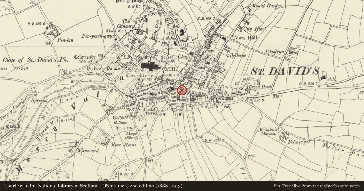
5 historical maps cover this location, the earliest the 1608 map "(13) Cambriae Typus." (David Rumsey Map Collection, Stanford Libraries).
Historical maps covering this location
- 1608 · (13) Cambriae Typus. (David Rumsey Map Collection, Stanford Libraries)
- 1636 · Cornubia : Devonia, Somersetus, Dorcestria, Wiltonia, Glocestria ... (David Rumsey Map Collection, Stanford Libraries)
- 1637 · Particular description of Wales. Cambria seu Wallia (David Rumsey Map Collection, Stanford Libraries)
- 1898 · 209 St David's (Hills) (David Rumsey Map Collection, Stanford Libraries)
- 1901 · Sheet 13. (David Rumsey Map Collection, Stanford Libraries)
Cadw's description
Location
Situated against the front wall of a pair of early C19 houses, at W end of Cross Square adjoining the top of Goat Street.
Exterior
Fine C19 Gothic barometer case in painted stone; square in plan, about 2m high. Top with carved coping, gablets to 3 outer sides, deeply moulded cornice. Blind panels to sides, recessed and glazed panel to front displaying tall barometer chamber; sloping plinth. Wooden barometer of mercury type, inscribed: "RNLB No 104 Institution. James Glaisher FRS. Negretti & Zambra London." (These last were the calibrator and makers).
A very attractive and unusual item of special interest.
Reason for designation
Group value with other listed items in the town centre.
Nearby in the register
- Court HouseCommercialunder 1 mi
- Court HouseDomesticunder 1 mi
- Cartref RestaurantCommercialunder 1 mi
- 2 Goat StreetDomesticunder 1 mi
Other entries of the same register within about three miles of this one, by straight line.