Cof Cymru: National Historic Assets of Wales · Wales
National Westminster Bank
Neath, Neath Port Talbot, Wales
A Grade II listed building in Neath, Neath Port Talbot, designated on 5 January 1989.
The record
- Designation
- Listed building, Grade II
- Broad class
- Commercial
- Date of designation
- 5 January 1989
- Community
- Neath
- Unitary authority
- Neath Port Talbot
- Country
- Wales
- Coordinates
- 51.66242, -3.80593
- Cadw reference
- 11787
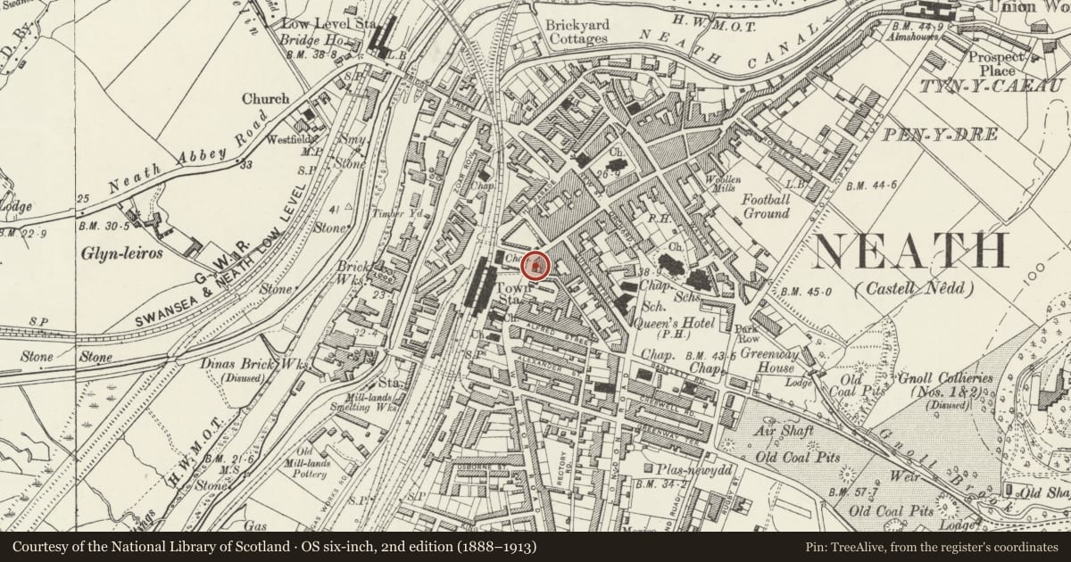
Slide toward Today to fade the historical sheet and see the modern map underneath.
David Rumsey Map Collection, Stanford LibrariesDavid Rumsey Map Collection, Stanford LibrariesDavid Rumsey Map Collection, Stanford LibrariesDavid Rumsey Map Collection, Stanford LibrariesDavid Rumsey Map Collection, Stanford Libraries
5 historical maps cover this location, the earliest the 1636 map "Cornubia : Devonia, Somersetus, Dorcestria, Wiltonia, Glocestria ..." (David Rumsey Map Collection, Stanford Libraries).
Historical maps covering this location
- 1636 · Cornubia : Devonia, Somersetus, Dorcestria, Wiltonia, Glocestria ... (David Rumsey Map Collection, Stanford Libraries)
- 1637 · The fourth table of England. Cornub. Devonia, Somerset etc. (David Rumsey Map Collection, Stanford Libraries)
- 1865 · England and Wales. England No. 6. (David Rumsey Map Collection, Stanford Libraries)
- 1891 · Sheet 10. Ordnance Survey of England and Wales. . (David Rumsey Map Collection, Stanford Libraries)
- 1897 · 247 Swansea (Hills) (David Rumsey Map Collection, Stanford Libraries)
Cadw's description
Location
On the street line where Green Street and Summerfield Place meet Windsor Road.
History
1924 as the National Provincial Bank by F C R Palmer and W F C Holden. Free Classicism.
Exterior
Convex 7 bay 2 bay storey front. Balustraded parapet, moulded cornice. Panelled pilasters to first floor bays, broader to outer ends. Small paned 2 light casement windows. Moulded architraves, stressed keystones.
Deep entablature to ground floor. Disc metopes and triglyphs with guttae to frieze. Modern fascia to centre. Doric columns on bases to ground floor bays, additional pilasters with similar details to outer corners. Low railings across bays. Tall round arched windows, moulded arches and impost blocks, keystones form consoles to entablature. Small paned glazing with fanlights. Similar detail to centre doorway. Blind tympanum with foliate carving, moulded architrave, panelled double doors.
Further doorway under fanlight to let hand bay.
Nearby in the register
- Midland BankCommercialunder 1 mi
- Lloyd's BankCommercialunder 1 mi
- 23 Green StreetCommercialunder 1 mi
- Soar Maes-yr-haf Congregational Chapel and forecourt railingsReligious, Ritual and Funeraryunder 1 mi
Other entries of the same register within about three miles of this one, by straight line.