Cof Cymru: National Historic Assets of Wales · Wales
23 Green Street
Neath, Neath Port Talbot, Wales
A Grade II listed building in Neath, Neath Port Talbot, designated on 5 January 1989.
The record
- Designation
- Listed building, Grade II
- Broad class
- Commercial
- Date of designation
- 5 January 1989
- Community
- Neath
- Unitary authority
- Neath Port Talbot
- Country
- Wales
- Coordinates
- 51.66273, -3.80530
- Cadw reference
- 11786
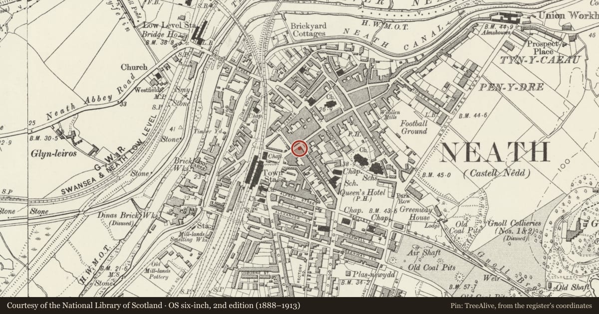
Slide toward Today to fade the historical sheet and see the modern map underneath.
David Rumsey Map Collection, Stanford LibrariesDavid Rumsey Map Collection, Stanford LibrariesDavid Rumsey Map Collection, Stanford LibrariesDavid Rumsey Map Collection, Stanford LibrariesDavid Rumsey Map Collection, Stanford Libraries
5 historical maps cover this location, the earliest the 1636 map "Cornubia : Devonia, Somersetus, Dorcestria, Wiltonia, Glocestria ..." (David Rumsey Map Collection, Stanford Libraries).
Historical maps covering this location
- 1636 · Cornubia : Devonia, Somersetus, Dorcestria, Wiltonia, Glocestria ... (David Rumsey Map Collection, Stanford Libraries)
- 1637 · The fourth table of England. Cornub. Devonia, Somerset etc. (David Rumsey Map Collection, Stanford Libraries)
- 1865 · England and Wales. England No. 6. (David Rumsey Map Collection, Stanford Libraries)
- 1891 · Sheet 10. Ordnance Survey of England and Wales. . (David Rumsey Map Collection, Stanford Libraries)
- 1897 · 247 Swansea (Hills) (David Rumsey Map Collection, Stanford Libraries)
Cadw's description
Location
On the Street line at the corner with Queen Street.
Exterior
Early-mid C19, 3 storey, commercial building. Two window elevation to Green Street, long 7 window front to Queen Street. Hipped slate roof, plain eaves band, rendered stack.
Nine pane sash windows to second floor, margins, stone sills. Similar 15 pane sashes to first floor. Modern shop front to ground floor returned to Queen Street. Consoles retained.
Broad 6 window elevation to Queen Street. Fenestration similar to front. Blind bay to extreme right - formerly dummy windows, plain pilasters. First floor sill band. Canted oriel (undergoing repair December 1988) to first floor fourth bay from left, sash windows, corniced top over blocked doorway, blocked window flanks to left - modern to right.
Modernised shop front to extreme left.
Nearby in the register
- General MarketCommercialunder 1 mi
- National Westminster BankCommercialunder 1 mi
- D S MorganCommercialunder 1 mi
- Barclay's BankCommercialunder 1 mi
Other entries of the same register within about three miles of this one, by straight line.