Cof Cymru: National Historic Assets of Wales · Wales
Aberpergwm House
Glynneath, Neath Port Talbot, Wales
A Grade II listed building in Aberpergwm, Neath, Glynneath, Neath Port Talbot, designated on 19 September 1969.
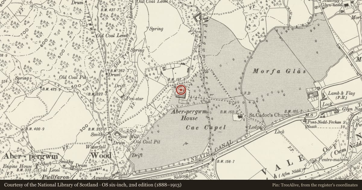
The record
- Designation
- Listed building, Grade II
- Broad class
- Domestic
- Date of designation
- 19 September 1969
- Locality
- Aberpergwm
- Town
- Neath
- Community
- Glynneath
- Unitary authority
- Neath Port Talbot
- Country
- Wales
- Coordinates
- 51.74372, -3.64247
- Cadw reference
- 11769
Slide toward Today to fade the historical sheet and see the modern map underneath.
David Rumsey Map Collection, Stanford LibrariesDavid Rumsey Map Collection, Stanford LibrariesDavid Rumsey Map Collection, Stanford LibrariesDavid Rumsey Map Collection, Stanford LibrariesDavid Rumsey Map Collection, Stanford Libraries
5 historical maps cover this location, the earliest the 1636 map "Cornubia : Devonia, Somersetus, Dorcestria, Wiltonia, Glocestria ..." (David Rumsey Map Collection, Stanford Libraries).
Historical maps covering this location
- 1636 · Cornubia : Devonia, Somersetus, Dorcestria, Wiltonia, Glocestria ... (David Rumsey Map Collection, Stanford Libraries)
- 1637 · The fourth table of England. Cornub. Devonia, Somerset etc. (David Rumsey Map Collection, Stanford Libraries)
- 1830 · V.3:11-15:XV. Britisches Reich. A. Kon: England. b. Frstenthum Wales: Shire: 37-40 (David Rumsey Map Collection, Stanford Libraries)
- 1898 · 231 Merthyr Tydfil (Hills) (David Rumsey Map Collection, Stanford Libraries)
- 1898 · 231 Merthyr Tydfil (Outline) (David Rumsey Map Collection, Stanford Libraries)
Cadw's description
Location
On the W side of Glynneath, reached by a drive NW off the B4242.
History
Ruins of a large mansion of possibly medieval to C19 date, abandoned in later C20. Neuadd Pergwm was celebrated by bards in the C15-16, and was owned from c. 1560 by the Williams family formerly of Blaen Baglan. The house had a central pediment and crenellations in the mid C19 before large additions were made in 1876 for M. S. Williams who added a new front range with neo-Elizabethan detail and long gallery on top floor. Leased to the National Coal Board who mined in the park, abandoned and derelict, the roofs and upper floor collapsed.
Exterior
Ruins of a large mansion, abandoned and derelict, the roofs and upper floor collapsed. Windows with painted surround on 2 levels of ruined facade with hoodmoulds to ground floor. Chimneys to N end.
Interior
Not inspected.
Reason for designation
Included as the ruins of an important South Wales gentry house.
Nearby in the register
- Gates across driveway at Aberpergwm HouseDomesticunder 1 mi
- Memorial to Jane Williams in the churchyarde of the Church of Saint CadocCommemorativeunder 1 mi
- Church of Saint CadocReligious, Ritual and Funeraryunder 1 mi
- Gate and railings and churchyard wall to SE of Church of St CadocReligious, Ritual and Funeraryunder 1 mi
Other entries of the same register within about three miles of this one, by straight line.