Cof Cymru: National Historic Assets of Wales · Wales
Yr Ysgoldy Fach
Cilycwm, Carmarthenshire, Wales
A Grade II listed building in Cilycwm, Carmarthenshire, designated on 12 October 1992.
The record
- Designation
- Listed building, Grade II
- Broad class
- Religious, Ritual and Funerary
- Date of designation
- 12 October 1992
- Locality
- Cilycwm
- Community
- Cilycwm
- Unitary authority
- Carmarthenshire
- Country
- Wales
- Coordinates
- 52.04455, -3.81879
- Cadw reference
- 11175
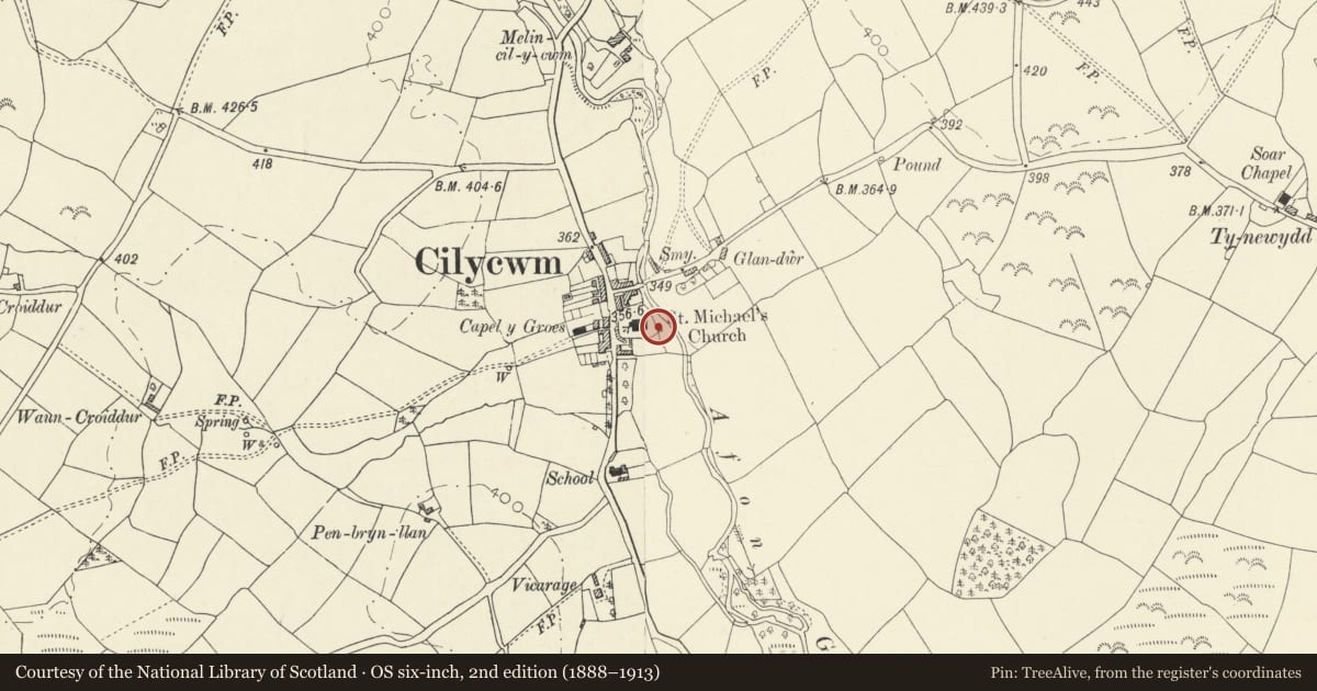
Slide toward Today to fade the historical sheet and see the modern map underneath.
David Rumsey Map Collection, Stanford LibrariesDavid Rumsey Map Collection, Stanford LibrariesDavid Rumsey Map Collection, Stanford LibrariesDavid Rumsey Map Collection, Stanford LibrariesDavid Rumsey Map Collection, Stanford Libraries
5 historical maps cover this location, the earliest the 1860 map "41. Caermathen." (David Rumsey Map Collection, Stanford Libraries).
Historical maps covering this location
- 1860 · 41. Caermathen. (David Rumsey Map Collection, Stanford Libraries)
- 1891 · Sheet 10. Ordnance Survey of England and Wales. . (David Rumsey Map Collection, Stanford Libraries)
- 1898 · 212 Llandovery (Outline) (David Rumsey Map Collection, Stanford Libraries)
- 1898 · 212 Llandovery (Hills) (David Rumsey Map Collection, Stanford Libraries)
- 1901 · Sheet 14. (David Rumsey Map Collection, Stanford Libraries)
Cadw's description
Location
Situated just E of Cilycwm church, with access from churchyard, facing E over river.
History
1833 school-room, apparently not connected with the Free School mentioned by churchwardens in 1739. That was founded by the will of Rowland Price of Dugoedydd, (d1719) and was probably by the bridge in Ship Street. This school was apparently built as a church Sunday school by Thomas Beynon, mason, and David Williams, carpenter. A vestry room was made in it for £16 in 1847.
Exterior
Whitewashed rubble stone with slate hipped roof, and boarded eaves. Two-storey, three-window range, built into slope such that entry to upper floor is from churchyard to W. E front C20 small-paned casements with cambered stone-voussoir heads and centre ledged door. Blank sides. Rear has door to left, into upper floor.
Interior
Ground floor has three oak beams.
Reason for designation
Group value with the church and of special historical interest
Nearby in the register
- Church of St MichaelReligious, Ritual and Funeraryunder 1 mi
- Jones monument in NE part of churchyard of parish churchReligious, Ritual and Funeraryunder 1 mi
- Lychgate to parish wallsReligious, Ritual and Funeraryunder 1 mi
- Neuadd Fawr ArmsCommercialunder 1 mi
Other entries of the same register within about three miles of this one, by straight line.