Cof Cymru: National Historic Assets of Wales · Wales
Lychgate to parish walls
Cilycwm, Carmarthenshire, Wales
A Grade II listed building in Cilycwm, Carmarthenshire, designated on 29 November 1995.
The record
- Designation
- Listed building, Grade II
- Broad class
- Religious, Ritual and Funerary
- Date of designation
- 29 November 1995
- Locality
- Cilycwm
- Community
- Cilycwm
- Unitary authority
- Carmarthenshire
- Country
- Wales
- Coordinates
- 52.04460, -3.81961
- Cadw reference
- 16969
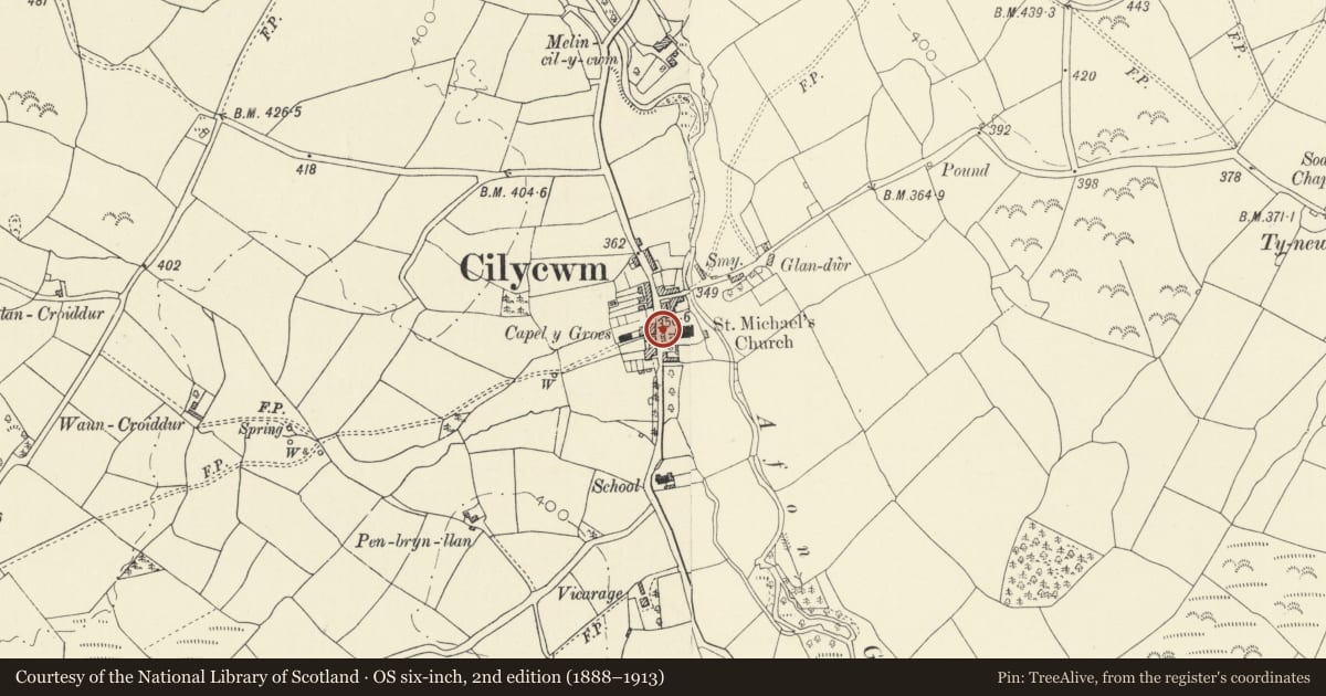
Slide toward Today to fade the historical sheet and see the modern map underneath.
David Rumsey Map Collection, Stanford LibrariesDavid Rumsey Map Collection, Stanford LibrariesDavid Rumsey Map Collection, Stanford LibrariesDavid Rumsey Map Collection, Stanford LibrariesDavid Rumsey Map Collection, Stanford Libraries
5 historical maps cover this location, the earliest the 1860 map "41. Caermathen." (David Rumsey Map Collection, Stanford Libraries).
Historical maps covering this location
- 1860 · 41. Caermathen. (David Rumsey Map Collection, Stanford Libraries)
- 1891 · Sheet 10. Ordnance Survey of England and Wales. . (David Rumsey Map Collection, Stanford Libraries)
- 1898 · 212 Llandovery (Outline) (David Rumsey Map Collection, Stanford Libraries)
- 1898 · 212 Llandovery (Hills) (David Rumsey Map Collection, Stanford Libraries)
- 1901 · Sheet 14. (David Rumsey Map Collection, Stanford Libraries)
Cadw's description
Location
Situated on W side of village street, in line with W door of church.
History
1858 lychgate to churchyard of Church of St Michael, by David Beynon of Cilycwm, according to churchwardens' accounts.
Exterior
Ashlar and rubble stone with stone-tiled roof. Paired wrought iron gates between gabled walls with stone coping and cross finials. Front edge of each wall is rusticated with top cornice piece to restrain coping. Oak lintels across and rafter roof. Gates have dog-bars, mid and top row of circles and spearhead finials. To each side is a curving low stone terrace wall with rusticated stone coping and low spearhead rails, a short length extending S to Neuadd Fawr Arms, a longer length N to No 1 Church Street.
Reason for designation
Group value with Church of St Michael, the only example of stone tiles in the village.
Nearby in the register
- Neuadd Fawr ArmsCommercialunder 1 mi
- Cwm HouseDomesticunder 1 mi
- The Old Post OfficeCommunicationsunder 1 mi
- Church of St MichaelReligious, Ritual and Funeraryunder 1 mi
Other entries of the same register within about three miles of this one, by straight line.