Cof Cymru: National Historic Assets of Wales · Wales
Dovecote to S of courtyard ranges at Dynevor Castle (Newton House)
Llandeilo, Carmarthenshire, Wales
A Grade II listed building in Llandeilo, Carmarthenshire, designated on 9 September 1985.
The record
- Designation
- Listed building, Grade II
- Broad class
- Domestic
- Date of designation
- 9 September 1985
- Community
- Llandeilo
- Unitary authority
- Carmarthenshire
- Country
- Wales
- Coordinates
- 51.88229, -4.01439
- Cadw reference
- 11105
Slide toward Today to fade the historical sheet and see the modern map underneath.
David Rumsey Map Collection, Stanford LibrariesDavid Rumsey Map Collection, Stanford LibrariesDavid Rumsey Map Collection, Stanford LibrariesDavid Rumsey Map Collection, Stanford LibrariesDavid Rumsey Map Collection, Stanford Libraries
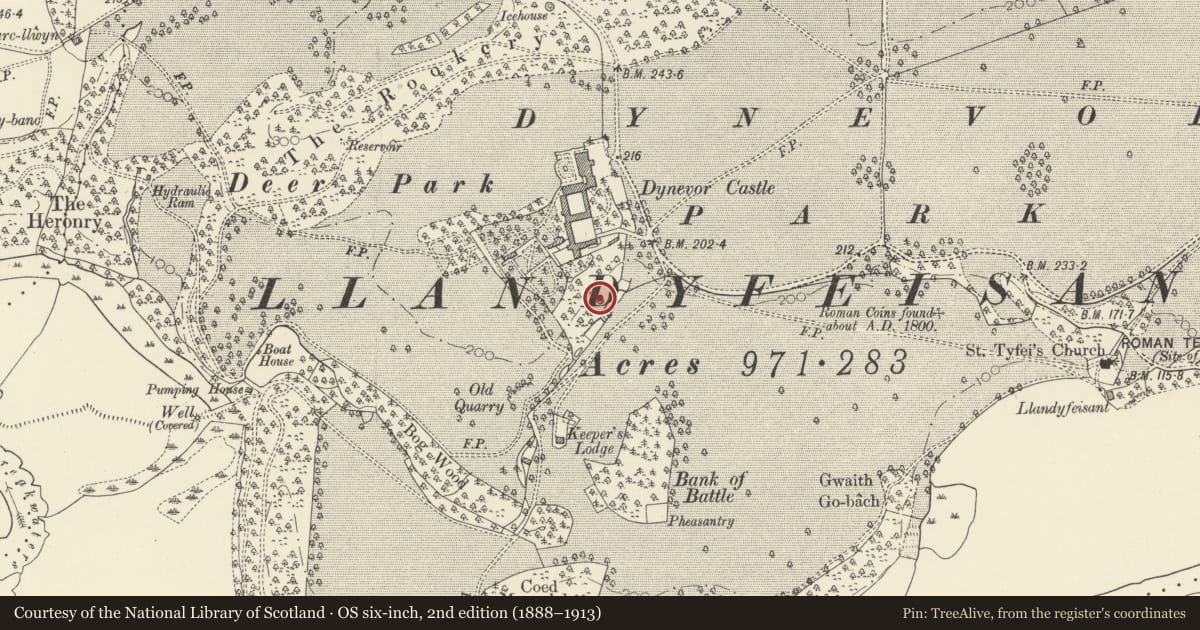
5 historical maps cover this location, the earliest the 1860 map "41. Caermathen." (David Rumsey Map Collection, Stanford Libraries).
Historical maps covering this location
- 1860 · 41. Caermathen. (David Rumsey Map Collection, Stanford Libraries)
- 1891 · Sheet 10. Ordnance Survey of England and Wales. . (David Rumsey Map Collection, Stanford Libraries)
- 1898 · 212 Llandovery (Outline) (David Rumsey Map Collection, Stanford Libraries)
- 1898 · 212 Llandovery (Hills) (David Rumsey Map Collection, Stanford Libraries)
- 1901 · Sheet 14. (David Rumsey Map Collection, Stanford Libraries)
Cadw's description
Location
In open ground on the banks of a small stream.
Exterior
Large octagonal structure of coursed rubble with quoins to angles, projecting course at soil level of raised door, projecting plinth. Timber jambs and lintel of door frame survive.
Roof missing.
Interior
Interior retains its nesting boxes of brick and slate, projecting course at plinth level, central stepped pier for access to boxes.
Reason for designation
Group value
Nearby in the register
- Outer Courtyard Ranges at Dynevor Castle (Newton House)Domesticunder 1 mi
- Dairy Cottage at Dynevor Castle (Newton House)Domesticunder 1 mi
- Inner Courtyard Ranges at Dynevor Castel (Newton House)Domesticunder 1 mi
- Summerhouse at Plas DinefwrGardens, Parks and Urban Spacesunder 1 mi
Other entries of the same register within about three miles of this one, by straight line.