Cof Cymru: National Historic Assets of Wales · Wales
7 George Hill
Llandeilo, Carmarthenshire, Wales
A Grade II listed building in Llandeilo, Carmarthenshire, designated on 21 November 1990.
The record
- Designation
- Listed building, Grade II
- Broad class
- Domestic
- Date of designation
- 21 November 1990
- Community
- Llandeilo
- Unitary authority
- Carmarthenshire
- Country
- Wales
- Coordinates
- 51.88198, -3.99510
- Cadw reference
- 11059
Slide toward Today to fade the historical sheet and see the modern map underneath.
David Rumsey Map Collection, Stanford LibrariesDavid Rumsey Map Collection, Stanford LibrariesDavid Rumsey Map Collection, Stanford LibrariesDavid Rumsey Map Collection, Stanford LibrariesDavid Rumsey Map Collection, Stanford Libraries
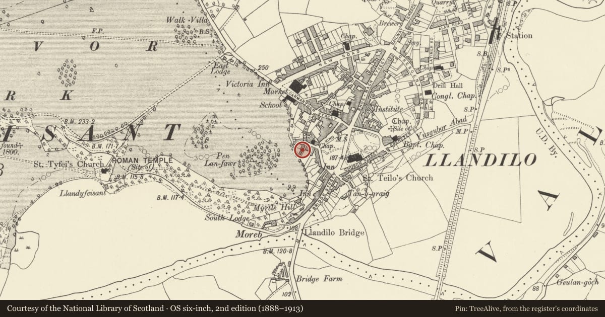
5 historical maps cover this location, the earliest the 1860 map "41. Caermathen." (David Rumsey Map Collection, Stanford Libraries).
Historical maps covering this location
- 1860 · 41. Caermathen. (David Rumsey Map Collection, Stanford Libraries)
- 1891 · Sheet 10. Ordnance Survey of England and Wales. . (David Rumsey Map Collection, Stanford Libraries)
- 1898 · 212 Llandovery (Outline) (David Rumsey Map Collection, Stanford Libraries)
- 1898 · 212 Llandovery (Hills) (David Rumsey Map Collection, Stanford Libraries)
- 1901 · Sheet 14. (David Rumsey Map Collection, Stanford Libraries)
Cadw's description
Location
On the narrow cul-de-sac off where George Street meets George Hill.
Exterior
Early Cl9. 2 storey, l window house with tunnel passage to left. Limewashed roughcast on rubble. Moderately pitched slate roof, rendered stack. 9 pane sash window (6 over 3) to first floor right. l2 pane sash window to ground floor. Doorway to left, plank door. Tunnel passage entry to extreme left, plank door.
Reason for designation
Group value.
Nearby in the register
- 6 George HillDomesticunder 1 mi
- 8 George HillDomesticunder 1 mi
- 5 George HillDomesticunder 1 mi
- 9 George HillDomesticunder 1 mi
Other entries of the same register within about three miles of this one, by straight line.