Cof Cymru: National Historic Assets of Wales · Wales
Gates & Gatepiers to Penlan Park
Llandeilo, Carmarthenshire, Wales
A Grade II listed building in Llandeilo, Carmarthenshire, designated on 24 June 1991.
The record
- Designation
- Listed building, Grade II
- Broad class
- Domestic
- Date of designation
- 24 June 1991
- Community
- Llandeilo
- Unitary authority
- Carmarthenshire
- Country
- Wales
- Coordinates
- 51.88356, -3.99595
- Cadw reference
- 11047
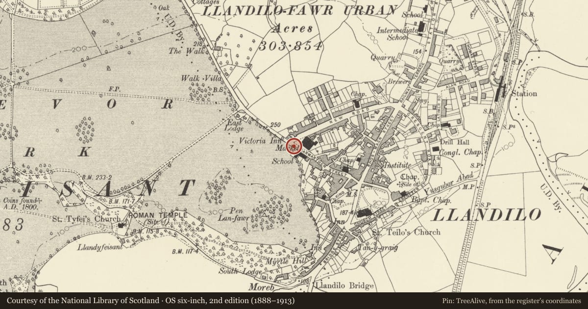
Slide toward Today to fade the historical sheet and see the modern map underneath.
David Rumsey Map Collection, Stanford LibrariesDavid Rumsey Map Collection, Stanford LibrariesDavid Rumsey Map Collection, Stanford LibrariesDavid Rumsey Map Collection, Stanford LibrariesDavid Rumsey Map Collection, Stanford Libraries
5 historical maps cover this location, the earliest the 1860 map "41. Caermathen." (David Rumsey Map Collection, Stanford Libraries).
Historical maps covering this location
- 1860 · 41. Caermathen. (David Rumsey Map Collection, Stanford Libraries)
- 1891 · Sheet 10. Ordnance Survey of England and Wales. . (David Rumsey Map Collection, Stanford Libraries)
- 1898 · 212 Llandovery (Outline) (David Rumsey Map Collection, Stanford Libraries)
- 1898 · 212 Llandovery (Hills) (David Rumsey Map Collection, Stanford Libraries)
- 1901 · Sheet 14. (David Rumsey Map Collection, Stanford Libraries)
Cadw's description
Location
Sited opposite the junction of New Road with Carmarthen Street.
Exterior
1908. Art Nouveau ironwork gates. Fine cast iron gates with applied wrought iron leaf ornament to taller end panels and central cresting. Headrail over spear pointed dogbars.
Central plaques with floral bosses and lettering set upon scrolls. "PENLAN" to left gate "PARK" missing from right gate.
Unsympathetic modern signs attached. Tall, rusticated, rock faced ashlar gatepiers with dedication inscriptions.
Nearby in the register
- Former National SchoolDomesticunder 1 mi
- Former Provision Market (Premisies of Brockington & Scott LTD)Industrialunder 1 mi
- Former School HouseDomesticunder 1 mi
- The Salutation InnCommercialunder 1 mi
Other entries of the same register within about three miles of this one, by straight line.