Cof Cymru: National Historic Assets of Wales · Wales
The Pier Building, the Pier
New Quay, Ceredigion, Wales
A Grade II listed building in New Quay, Ceredigion, designated on 5 May 1975.
The record
- Designation
- Listed building, Grade II
- Broad class
- Commercial
- Date of designation
- 5 May 1975
- Locality
- New Quay
- Community
- New Quay
- Unitary authority
- Ceredigion
- Country
- Wales
- Coordinates
- 52.21561, -4.35779
- Cadw reference
- 10815
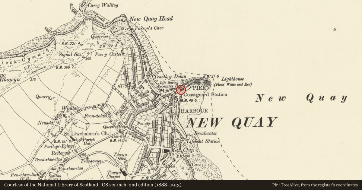
Slide toward Today to fade the historical sheet and see the modern map underneath.
David Rumsey Map Collection, Stanford LibrariesDavid Rumsey Map Collection, Stanford LibrariesDavid Rumsey Map Collection, Stanford LibrariesDavid Rumsey Map Collection, Stanford LibrariesDavid Rumsey Map Collection, Stanford Libraries
5 historical maps cover this location, the earliest the 1608 map "(13) Cambriae Typus." (David Rumsey Map Collection, Stanford Libraries).
Historical maps covering this location
- 1608 · (13) Cambriae Typus. (David Rumsey Map Collection, Stanford Libraries)
- 1830 · V.3:11-15:XV. Britisches Reich. A. Kon: England. b. Frstenthum Wales: Shire: 37-40 (David Rumsey Map Collection, Stanford Libraries)
- 1848 · 57. Tregaron, SW Quad. (David Rumsey Map Collection, Stanford Libraries)
- 1901 · Sheet 14. (David Rumsey Map Collection, Stanford Libraries)
- 1919 · Sheet 78. Lampeter. (David Rumsey Map Collection, Stanford Libraries)
Cadw's description
Location
Situated at the head of New Quay pier.
History
Earlier C19. On front wall are framed painted panels of harbour dues of considerable historical interest. Despite the additions, altered fenestration and loss of chimneys this remains a warehouse of quality. Said to have been built at the same time as the pier, 1835, as a storehouse for the New Quay Harbour Co., but not apparently marked on 1847 Tithe Map.
Exterior
Warehouse in squared brown rubble stone with slate roof and coped gables. Four-storey three-window range with centre doors each floor and small square windows each side. Ground floor doors are double in broader opening, upper doors are now windows. Stone voussoirs. Two raised bands. North end wall has big C20 glazed section rising from third floor into gable, otherwise one small window each floor. Rear has C20 or remodelled lean-to against first floor, and S end has C20 two-storey addition, of painted rubble stone below, weatherboarding above.
Reason for designation
Group value.
Nearby in the register
- The Pier including Parallel SlipwayMaritimeunder 1 mi
- The Penwig HotelDomesticunder 1 mi
- The GlynDomesticunder 1 mi
- The Captains TableCommercialunder 1 mi
Other entries of the same register within about three miles of this one, by straight line.