Sites and Monuments Record · Ireland
Standing stone
Spring (Duke), County Waterford, Ireland
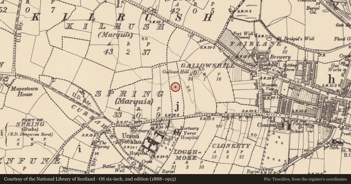
The record
- Townland
- Spring (Duke)
- County
- Waterford
- Country
- Ireland
- First-edition OS map
- Not indicated
- Latest-edition OS map
- Not indicated
- Coordinates
- 52.08994, -7.63542
- SMR number
- WA031-075----
Slide toward Today to fade the historical sheet and see the modern map underneath.
David Rumsey Map Collection, Stanford LibrariesDavid Rumsey Map Collection, Stanford LibrariesDavid Rumsey Map Collection, Stanford LibrariesDavid Rumsey Map Collection, Stanford Libraries
4 historical maps cover this location, the earliest the 1790 map "Composite: Ireland." (David Rumsey Map Collection, Stanford Libraries).
Historical maps covering this location
- 1790 · Composite: Ireland. (David Rumsey Map Collection, Stanford Libraries)
- 1865 · Ireland, (South) Sheet. (David Rumsey Map Collection, Stanford Libraries)
- 1882 · Ireland (southern half). (David Rumsey Map Collection, Stanford Libraries)
- 1891 · Ireland 16 (David Rumsey Map Collection, Stanford Libraries)
This record in the National Monuments Service's Historic Environment Viewer ↗
The National Monuments Service's description
A rectangular limestone standing stone formerly stood where a house now stands. A motte (WA031-067----) is located c. 110m to the NE. The standing stone was moved to c. 15m S of its original location when the Hillview housing estate was constructed c. 1984. The present location of the standing stone is recorded as WA031-076----.
Compiled by: Jean Farrelly
Date of upload: 20 December 2017
Nearby in the register
- Standing stone (present location)under 1 mi
- Castle - motteunder 1 mi
- Rock scribing - folk artunder 1 mi
- Ritual site - holy wellunder 1 mi
Other entries of the same register within about three miles of this one, by straight line.