Sites and Monuments Record · Ireland
Shrine
Toureen, County Tipperary South, Ireland
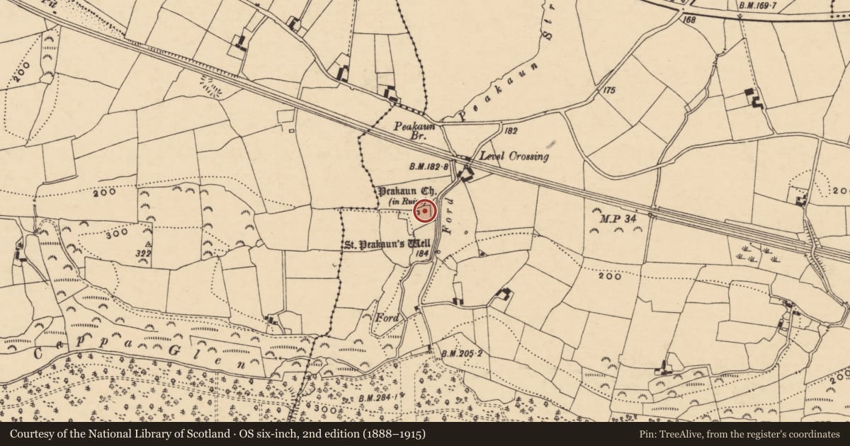
The record
- Townland
- Toureen
- County
- Tipperary South
- Country
- Ireland
- First-edition OS map
- Not indicated
- Latest-edition OS map
- Not indicated
- Coordinates
- 52.40879, -7.99284
- SMR number
- TS075-023072-
Slide toward Today to fade the historical sheet and see the modern map underneath.
David Rumsey Map Collection, Stanford LibrariesDavid Rumsey Map Collection, Stanford LibrariesDavid Rumsey Map Collection, Stanford LibrariesDavid Rumsey Map Collection, Stanford Libraries
4 historical maps cover this location, the earliest the 1790 map "Composite: Ireland." (David Rumsey Map Collection, Stanford Libraries).
Historical maps covering this location
- 1790 · Composite: Ireland. (David Rumsey Map Collection, Stanford Libraries)
- 1882 · Ireland (southern half). (David Rumsey Map Collection, Stanford Libraries)
- 1891 · Ireland 16 (David Rumsey Map Collection, Stanford Libraries)
- 1904 · Sheet 13. (David Rumsey Map Collection, Stanford Libraries)
This record in the National Monuments Service's Historic Environment Viewer ↗
The National Monuments Service's description
Two 'posts' of a corner-post shrine currently located in a small display area 5m SE of the church (TS075023001-) to the N and S of the E cross (TS075-023002-). Both posts are of similar size and design, each a tapering slab (L c. 1.4m) with a wheeled cross in relief on one face. Each slab has two rectangular mortises in one side and were evidently part of a composite composition (Waddell and Holland 1990, 179). Duignan postulated that the two pillars and the E cross may have formed a unit, the pillars representing the thieves' crosses at Calvery (ibid.). Ó Carragáin (2003, 166) interprets these cross-pillars as 'posts' from a 'corner-post shrine of both wood and stone; and, though not closely dateable, the ringed crosses on the posts would not be out of place in an eight or ninth century context'. The N post, though found intact is currently embedded in the ground (H above ground 1.08m). It is a roughly rectangular stone (Wth at top 0.28m; Wth at ground level 0.32m; T at top 0.13m; T at ground level 0.24m). The upper mortise also has a dowel hole. The upper portion of the S post, with the wheeled cross (Wth 0.32m; H 0.42m; max. T 0.17m), is currently upside down on top of a block of stone (Wth at top 0.29m; Wth at base 0.32m; H 0.26m; T 0.13-0.17m) which rests on another block of stone (Wth 0.33m; H 0.27m; max. T 0.2m) with a cross shaft (Wth 0.05m) and border in relief on one side. Only the upper mortise is currently visible. Okasha and Forsyth (2001, 288) suggest that two other smaller pillars (TS075-023074-; TS075-023075-) may also form part of this shrine.
Compiled by: Jean Farrelly
Date of upload: 25 March 2014
References
Okasha, E. and Forsyth, K. 2001 Early Christian inscriptions of Munster: a corpus of the inscribed stones. Cork University Press.
Waddell, J. and Holland, P. 1990 The Peakaun site: Duignan's 1944 investigations. Tipperary Historical Journal, 165-86.
Ó Carragáin, T. 2003 The architectural setting of the cult of relics in early medieval Ireland. Journal of the Royal Society of Antiquaries of Ireland 133, 130-76.
Nearby in the register
- Architectural fragmentunder 1 mi
- Crossunder 1 mi
- Cross-slabunder 1 mi
- Cross-slabunder 1 mi
Other entries of the same register within about three miles of this one, by straight line.