Sites and Monuments Record · Ireland
Architectural fragment
Toureen, County Tipperary South, Ireland
The record
- Townland
- Toureen
- County
- Tipperary South
- Country
- Ireland
- First-edition OS map
- Not indicated
- Latest-edition OS map
- Not indicated
- Coordinates
- 52.40878, -7.99287
- SMR number
- TS075-023008-
Slide toward Today to fade the historical sheet and see the modern map underneath.
David Rumsey Map Collection, Stanford LibrariesDavid Rumsey Map Collection, Stanford LibrariesDavid Rumsey Map Collection, Stanford LibrariesDavid Rumsey Map Collection, Stanford Libraries
4 historical maps cover this location, the earliest the 1790 map "Composite: Ireland." (David Rumsey Map Collection, Stanford Libraries).
Historical maps covering this location
- 1790 · Composite: Ireland. (David Rumsey Map Collection, Stanford Libraries)
- 1882 · Ireland (southern half). (David Rumsey Map Collection, Stanford Libraries)
- 1891 · Ireland 16 (David Rumsey Map Collection, Stanford Libraries)
- 1904 · Sheet 13. (David Rumsey Map Collection, Stanford Libraries)
This record in the National Monuments Service's Historic Environment Viewer ↗
The National Monuments Service's description
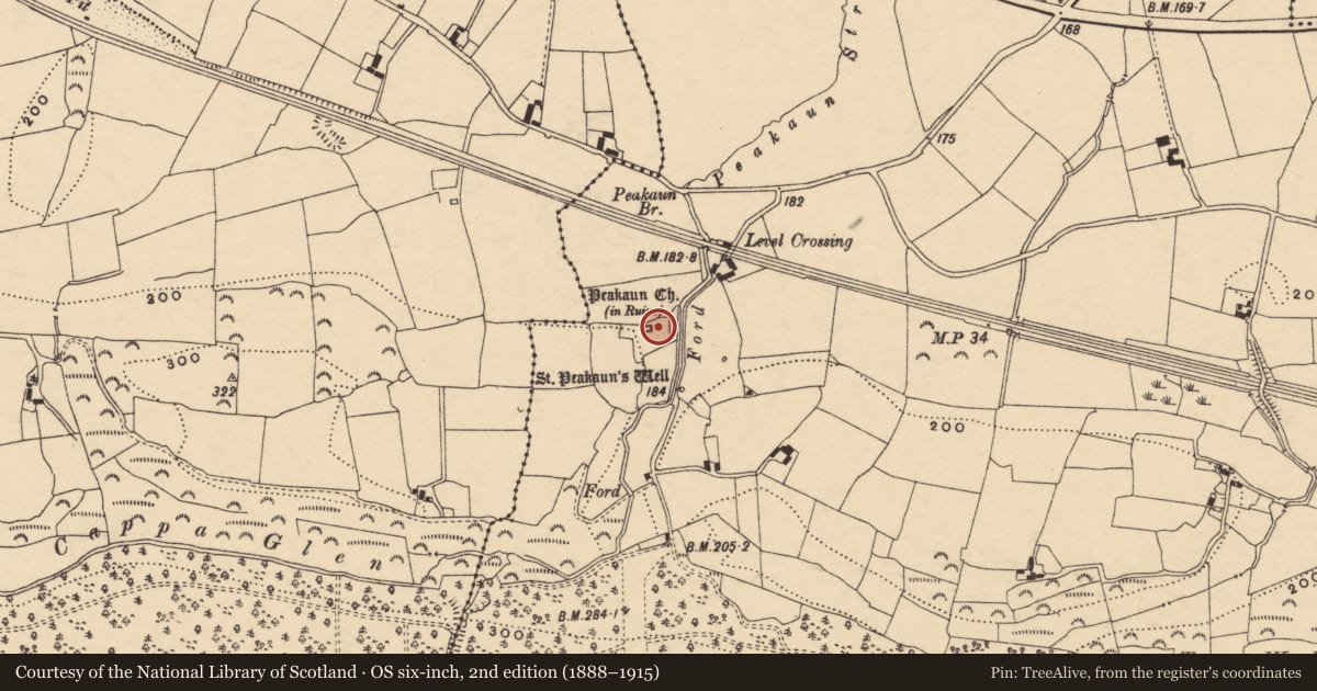
A number of architectural fragments were uncovered during Duignan's excavation of St Peakaun's ecclesiastical enclosure (TS075-023007-) in 1944. As well as the remains of the E and S window which were inserted into the church (TS075-023001-), there was a small capital with scalloping, the plain archstones of windows and two plain water stoups (Waddell and Holland 1990, 169). There are a number of other fragments in the vicinity of the church. Some are window and door fragments from the church while others, particularly those on display in the area 5m SE of the church, may be cross-shafts or parts of a shrine.
Compiled by: Jean Farrelly
Date of upload: 26 August 2011
Nearby in the register
- Crossunder 1 mi
- Shrineunder 1 mi
- Inscribed slabunder 1 mi
- Cross-slabunder 1 mi
Other entries of the same register within about three miles of this one, by straight line.