Sites and Monuments Record · Ireland
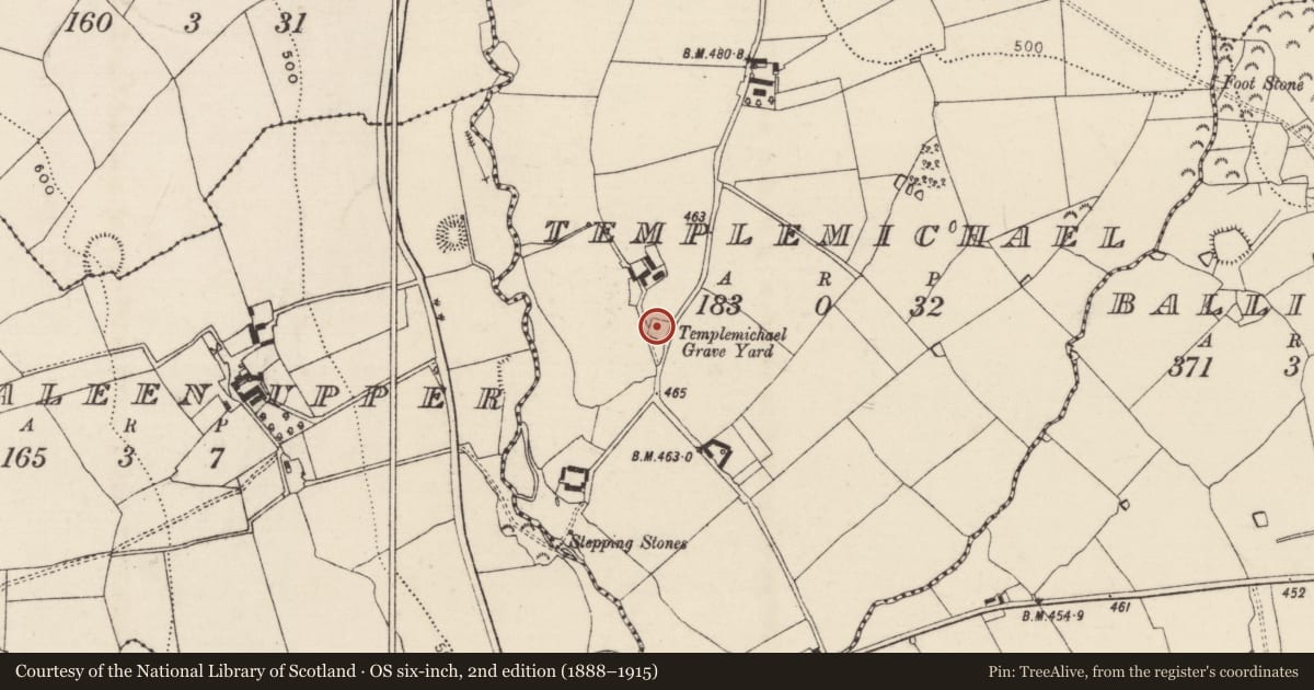
Church
Templemichael, County Tipperary South, Ireland
The record
- Townland
- Templemichael
- County
- Tipperary South
- Country
- Ireland
- First-edition OS map
- Templemichael
- Latest-edition OS map
- Templemichael
- Coordinates
- 52.43542, -7.46382
- SMR number
- TS072-002----
Slide toward Today to fade the historical sheet and see the modern map underneath.
David Rumsey Map Collection, Stanford LibrariesDavid Rumsey Map Collection, Stanford LibrariesDavid Rumsey Map Collection, Stanford LibrariesDavid Rumsey Map Collection, Stanford Libraries
4 historical maps cover this location, the earliest the 1790 map "Composite: Ireland." (David Rumsey Map Collection, Stanford Libraries).
Historical maps covering this location
- 1790 · Composite: Ireland. (David Rumsey Map Collection, Stanford Libraries)
- 1882 · Ireland (southern half). (David Rumsey Map Collection, Stanford Libraries)
- 1891 · Ireland 16 (David Rumsey Map Collection, Stanford Libraries)
- 1904 · Sheet 13. (David Rumsey Map Collection, Stanford Libraries)
This record in the National Monuments Service's Historic Environment Viewer ↗
The National Monuments Service's description
On a flat raised platform in gently undulating terrain, the ground sloping to the W beyond the graveyard wall. A road runs N-S along the E side of the graveyard and the Lingaun river is c. 170m to the W. Power (1908, 200-201) suggests that this is the church of 'Athnacarbad', which translates as the 'Ford of the Chariots', and is mentioned in the Visitations of Elizabeth I and the Taxation of Pope Nicholas. The church is located in the NW quadrant of a roughly rectangular graveyard (TS072-002002-). Only the foundations of one wall (L 5.9m; max. Wth 0.95m), running E-W, survive. Four limestone architectural fragments are re-used as headstones, including a mullion with chamfered edges, two mullions with hollow chamfers and an external rebate, and a chamfered sill/lintel. A bullaun stone (TS072-002003-) has been fixed onto a stone pier in the E wall of the graveyard.
Compiled by: Jean Farrelly
Date of upload: 26 August 2011
References
Power, P. 1908 Placenames of the Decies. Journal of the Waterford and Southeast of Ireland Archaeological Society 11, 1-34, 45-78, 135-43 and 179-210.
Nearby in the register
- Graveyardunder 1 mi
- Bullaun stoneunder 1 mi
- Moated siteunder 1 mi
- Standing stoneunder 1 mi
Other entries of the same register within about three miles of this one, by straight line.