Sites and Monuments Record · Ireland
Graveslab
Fethard, County Tipperary South, Ireland
The record
- Townland
- Fethard
- County
- Tipperary South
- Country
- Ireland
- First-edition OS map
- Not indicated
- Latest-edition OS map
- Not indicated
- Coordinates
- 52.46568, -7.69476
- SMR number
- TS070-040096-
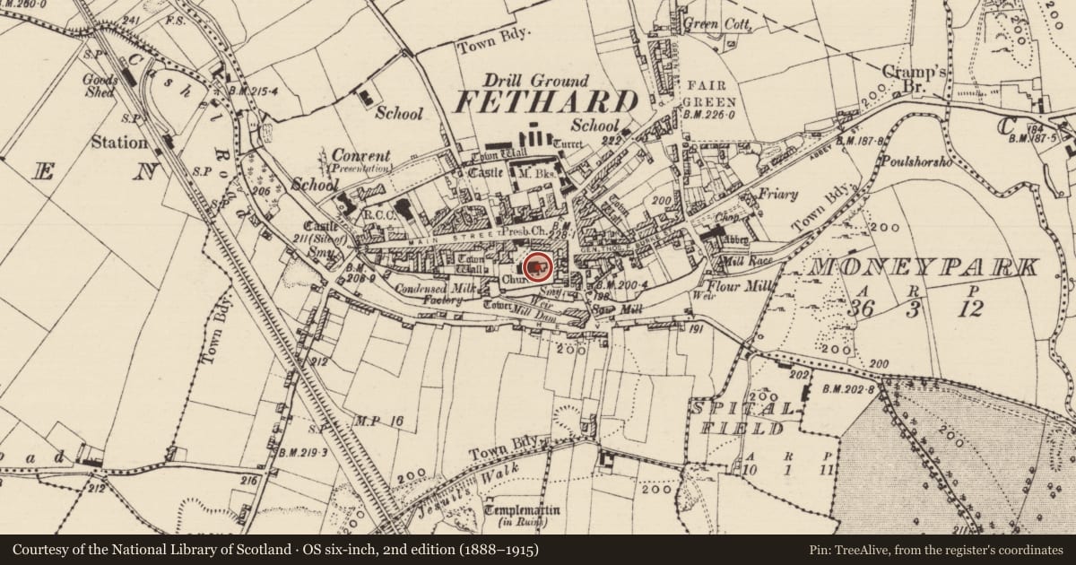
Slide toward Today to fade the historical sheet and see the modern map underneath.
David Rumsey Map Collection, Stanford LibrariesDavid Rumsey Map Collection, Stanford LibrariesDavid Rumsey Map Collection, Stanford LibrariesDavid Rumsey Map Collection, Stanford Libraries
4 historical maps cover this location, the earliest the 1790 map "Composite: Ireland." (David Rumsey Map Collection, Stanford Libraries).
Historical maps covering this location
- 1790 · Composite: Ireland. (David Rumsey Map Collection, Stanford Libraries)
- 1882 · Ireland (southern half). (David Rumsey Map Collection, Stanford Libraries)
- 1891 · Ireland 16 (David Rumsey Map Collection, Stanford Libraries)
- 1904 · Sheet 13. (David Rumsey Map Collection, Stanford Libraries)
This record in the National Monuments Service's Historic Environment Viewer ↗
The National Monuments Service's description
Lying in the floor near the N wall, towards the E end of the nave of the medieval parish church of St John the Baptist (TS070-040001-), currently the organ room of Holy Trinity C of I church. A tapering limestone slab (L 1.88m; Wth at top 0.62m; Wth at base 0.58m) with an inscription around the border in english, in Roman capitals, which reads: HERE LYETH THE BODY OF AN COOKE ALYES LANGLY YE WIFE OF PEETER COOKE BURGES IN FETHERD WHO PARTED THIS LIFE YE 12 OF FE/BRY IN YE YR OF OURE LORDE 1680. There appears to be no decoration in the centre of the slab.
Compiled by: Jean Farrelly
Date of upload: 23 January 2012
Nearby in the register
Other entries of the same register within about three miles of this one, by straight line.