Sites and Monuments Record · Ireland
Graveslab
Athasselabbey North, County Tipperary South, Ireland
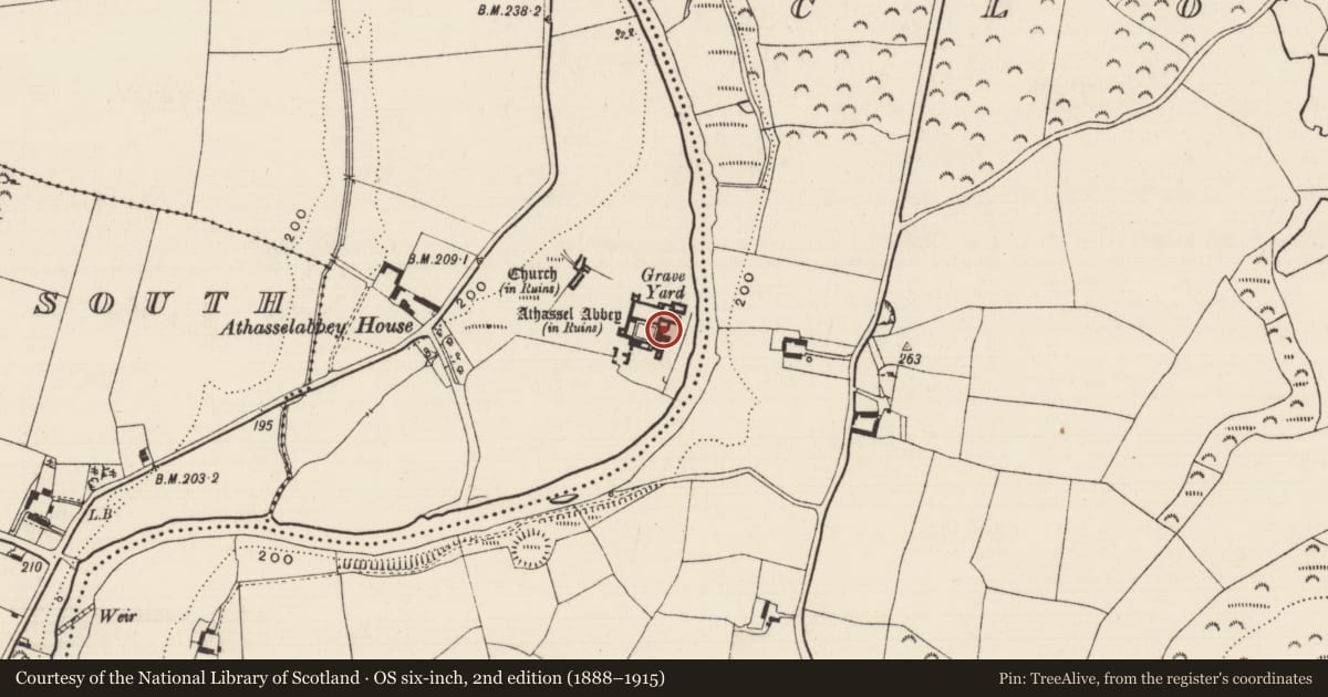
The record
- Townland
- Athasselabbey North
- County
- Tipperary South
- Country
- Ireland
- First-edition OS map
- Not indicated
- Latest-edition OS map
- Not indicated
- Coordinates
- 52.47900, -7.98291
- SMR number
- TS068-013023-
Slide toward Today to fade the historical sheet and see the modern map underneath.
David Rumsey Map Collection, Stanford LibrariesDavid Rumsey Map Collection, Stanford LibrariesDavid Rumsey Map Collection, Stanford LibrariesDavid Rumsey Map Collection, Stanford Libraries
4 historical maps cover this location, the earliest the 1790 map "Composite: Ireland." (David Rumsey Map Collection, Stanford Libraries).
Historical maps covering this location
- 1790 · Composite: Ireland. (David Rumsey Map Collection, Stanford Libraries)
- 1882 · Ireland (southern half). (David Rumsey Map Collection, Stanford Libraries)
- 1891 · Ireland 16 (David Rumsey Map Collection, Stanford Libraries)
- 1904 · Sheet 13. (David Rumsey Map Collection, Stanford Libraries)
This record in the National Monuments Service's Historic Environment Viewer ↗
The National Monuments Service's description
In the S chapel of the Augustian abbey (TS068-013---) at Athassel, secured against the S wall. It is described by Maher (1997, 53) as a tapering slab (L 1.71m; Wth at top 0.63m; Wth at base 0.47m; average T 0.15m) covered in lichen which has been broken in two but now joined together by cement. 'The design consists of a lightly incised, four-armed outline cross which surmounts a shaft. The centre of the cross-head design features an eight-petalled rosette from which the four arms emanate. These are composed of an inner trefoil from which spring three stems. The central stems terminate in quinquefoils while the outer ones form simple trefoils. Beneath the cross-head are traces of foiled motifs on either side of the upper shaft; these have been damaged by the break in the stone. The shaft of the design terminates in a knop beneath which are three stems ending in trefoils. There is no evidence to suggest that the slab bore an inscription' (ibid.).
Compiled by: Jean Farrelly
Date of upload: 11 January 2012
References
Maher, D. 1997 Medieval grave-slabs of County Tipperary, 1200-1600 A.D. BAR British Series 262.
Nearby in the register
- Wall monumentunder 1 mi
- Graveslabunder 1 mi
- Graveslabunder 1 mi
- Tomb - effigialunder 1 mi
Other entries of the same register within about three miles of this one, by straight line.