Sites and Monuments Record · Ireland
Wall monument
St. Patricksrock, County Tipperary South, Ireland
The record
- Townland
- St. Patricksrock
- County
- Tipperary South
- Country
- Ireland
- First-edition OS map
- Not indicated
- Latest-edition OS map
- Not indicated
- Coordinates
- 52.52010, -7.89014
- SMR number
- TS061-025143-
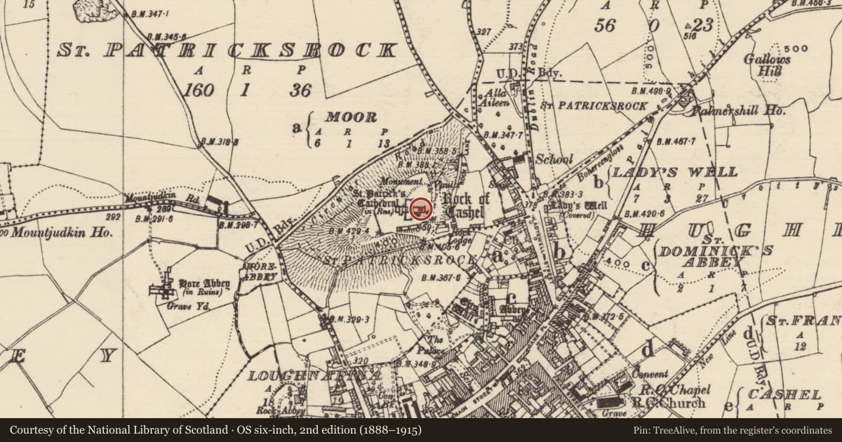
Slide toward Today to fade the historical sheet and see the modern map underneath.
David Rumsey Map Collection, Stanford LibrariesDavid Rumsey Map Collection, Stanford LibrariesDavid Rumsey Map Collection, Stanford LibrariesDavid Rumsey Map Collection, Stanford Libraries
4 historical maps cover this location, the earliest the 1790 map "Composite: Ireland." (David Rumsey Map Collection, Stanford Libraries).
Historical maps covering this location
- 1790 · Composite: Ireland. (David Rumsey Map Collection, Stanford Libraries)
- 1882 · Ireland (southern half). (David Rumsey Map Collection, Stanford Libraries)
- 1891 · Ireland 16 (David Rumsey Map Collection, Stanford Libraries)
- 1904 · Sheet 13. (David Rumsey Map Collection, Stanford Libraries)
This record in the National Monuments Service's Historic Environment Viewer ↗
The National Monuments Service's description
In the N wall of the choir of the cathedral (TS061-025003-) on the Rock of Cashel, immediately E of the Hamilton wall monument (TS061-025142-). A heraldic achievement in a moulded and recessed rectangular frame, surmounted by entablature with a latin inscription and moulded cornice. The shield halved, the dexter charged with a chevron and two over one owls, the sinister charged with a chevron and two over one pheons, point downwards. The crest consists of a griffin emanating from a wreath and knights helment. It is inscribed with the motto: ADIVVA MEDEVS, and the initials IL and RA and is dated 1607.
Compiled by: Jean Farrelly
Date of upload: 26 January 2012
Nearby in the register
Other entries of the same register within about three miles of this one, by straight line.