Sites and Monuments Record · Ireland
Enclosure
Ardmayle, County Tipperary South, Ireland
The record
- Townland
- Ardmayle
- County
- Tipperary South
- Country
- Ireland
- First-edition OS map
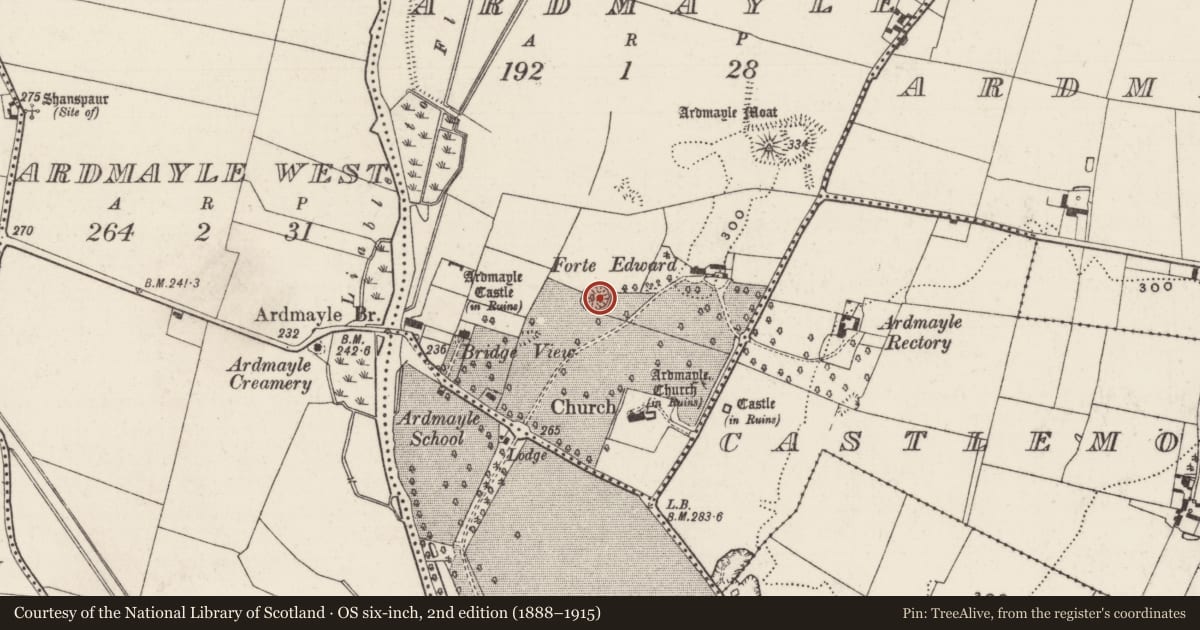
- Forte Edward
- Latest-edition OS map
- Forte Edward
- Coordinates
- 52.56589, -7.91964
- SMR number
- TS052-034001-
Slide toward Today to fade the historical sheet and see the modern map underneath.
David Rumsey Map Collection, Stanford LibrariesDavid Rumsey Map Collection, Stanford LibrariesDavid Rumsey Map Collection, Stanford LibrariesDavid Rumsey Map Collection, Stanford Libraries
4 historical maps cover this location, the earliest the 1790 map "Composite: Ireland." (David Rumsey Map Collection, Stanford Libraries).
Historical maps covering this location
- 1790 · Composite: Ireland. (David Rumsey Map Collection, Stanford Libraries)
- 1869 · Ireland. (David Rumsey Map Collection, Stanford Libraries)
- 1891 · Ireland 16 (David Rumsey Map Collection, Stanford Libraries)
- 1904 · Sheet 13. (David Rumsey Map Collection, Stanford Libraries)
This record in the National Monuments Service's Historic Environment Viewer ↗
The National Monuments Service's description
In improved pasture on a low, natural rise in a low-lying landscape. Roughly circular area (overall diam. 44m) defined by a bank (Wth crest 3m; Wth at base 4.5m; int. H 0.6m; Ext. H 1.4m-2.05m) with evidence of a external stone revettment, at the base of this revettment there is a slightly sloping berm (Wth 2.4m; H 1.2m) which is enclosed around the base of the monument by a retaining rubble stone wall (H 0.7m) which is appears to be a landscaping feature. The wall is best preserved S-WNW and is lower and partially collapsed into surrounding field WNW-S. The wall seems to be part of a counter revetment S-WNW. The interior is generally level and obscured by overgrowth of bushes. There is a folly (TS052-034002-) in the interior in the E quadrant which has incorporated some architectural fragments (TS052-034003-) while other fragments had been incorporated into the lower revettment wall in the W quadrant and have tumbled downslope from it.
Compiled by: Jean Farrelly
Date of upload: 26 August 2011
Nearby in the register
- Designed landscape - follyunder 1 mi
- Architectural fragmentunder 1 mi
- Settlement deserted - medievalunder 1 mi
- Graveslabunder 1 mi
Other entries of the same register within about three miles of this one, by straight line.