Sites and Monuments Record · Ireland
Road - class 3 togher
Clonad (Phillipstown Lower By.), County Offaly, Ireland
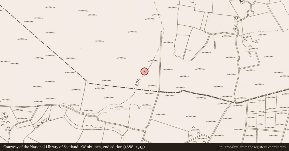
The record
- Townland
- Clonad (Phillipstown Lower By.)
- County
- Offaly
- Country
- Ireland
- First-edition OS map
- NULL
- Latest-edition OS map
- Not indicated
- Coordinates
- 53.26348, -7.29440
- SMR number
- OF018-101----
Slide toward Today to fade the historical sheet and see the modern map underneath.
David Rumsey Map Collection, Stanford LibrariesDavid Rumsey Map Collection, Stanford LibrariesDavid Rumsey Map Collection, Stanford LibrariesDavid Rumsey Map Collection, Stanford Libraries
4 historical maps cover this location, the earliest the 1790 map "Composite: Ireland." (David Rumsey Map Collection, Stanford Libraries).
Historical maps covering this location
- 1790 · Composite: Ireland. (David Rumsey Map Collection, Stanford Libraries)
- 1811 · Ireland. (David Rumsey Map Collection, Stanford Libraries)
- 1869 · Ireland. (David Rumsey Map Collection, Stanford Libraries)
- 1891 · Ireland 16 (David Rumsey Map Collection, Stanford Libraries)
This record in the National Monuments Service's Historic Environment Viewer ↗
The National Monuments Service's description
A dense deposit (L 2.1m min.; Wth 2.65m; D 0.06m) of regularly laid brushwood, probably the remains of a hurdle. The site consists of over a hundred pieces of brushwood (diam. 0.015-0.05m) in one central concentration (L 1.8m max.; Wth 1.24m). This central area is very fragmented but is three to four pieces deep. There appears to be at least four possible rods orientated approximately NW-SE with the sails orientated NE-SW. The overall width of the site is extended by an outlying light roundwood on the W edge and some pieces of displaced brushwood on the S side. Two stakes are present on the S side of the deposit. Toolmarks are evident on a number of elements.
Compiled by: Irish Archaeological Wetland Unit (University College Dublin).
This site was recorded by the Irish Archaeological Wetland Unit (UCD) in 2001 as a tertiary togher (Irish Archaeological Wetland Unit (UCD) 2002). It was described as a dense deposit of regularly laid brushwood on the field surface, possibly the remains of a hurdle panel. Unfortunately, when it came to excavating this site under licence no. 04E0728, all that remained was a concentration of woodchips on the field surface; the site no longer existed. As a result, no cutting was excavated for this site.
Reference
Irish Archaeological Wetland Unit (UCD) 2002 Archaeological survey report: Clonad Bog, Co. Offaly. Unpublished report commissioned by Dœchas, the Heritage Service.
Eoin Corcoran, Archaeological Development Services Ltd, Windsor House, 11 Fairview Strand, Dublin 3.
Date of revision: 23 April 2009
Nearby in the register
- Structure - peatlandunder 1 mi
- Structure - peatlandunder 1 mi
- Road - class 2 togherunder 1 mi
- Structure - peatlandunder 1 mi
Other entries of the same register within about three miles of this one, by straight line.