Sites and Monuments Record · Ireland
Fulacht fia
Lecarrow (Murrisk By.), County Mayo, Ireland
The record
- Townland
- Lecarrow (Murrisk By.)
- County
- Mayo
- Country
- Ireland
- First-edition OS map
- Not indicated
- Latest-edition OS map
- Not indicated
- Coordinates
- 53.80669, -9.96393
- SMR number
- MA085-008003-
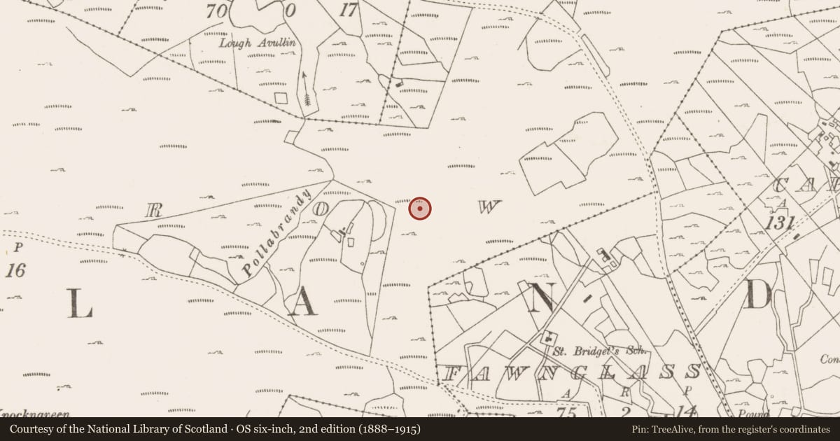
Slide toward Today to fade the historical sheet and see the modern map underneath.
David Rumsey Map Collection, Stanford LibrariesDavid Rumsey Map Collection, Stanford LibrariesDavid Rumsey Map Collection, Stanford LibrariesDavid Rumsey Map Collection, Stanford Libraries
4 historical maps cover this location, the earliest the 1753 map "Mappa geographica Regni Hiberniae" (David Rumsey Map Collection, Stanford Libraries).
Historical maps covering this location
- 1753 · Mappa geographica Regni Hiberniae (David Rumsey Map Collection, Stanford Libraries)
- 1790 · Composite: Ireland. (David Rumsey Map Collection, Stanford Libraries)
- 1869 · Ireland. (David Rumsey Map Collection, Stanford Libraries)
- 1891 · Ireland 16 (David Rumsey Map Collection, Stanford Libraries)
This record in the National Monuments Service's Historic Environment Viewer ↗
The National Monuments Service's description
Situated at the foot of a steep rise and immediately W of a small level patch of marshy ground and NW of the fulacht fia are the foundations of a circular house (MA085-008002-). The fulacht fia comprises a small and low grassy mound, roughly ovate in plan (N–S c. 2.7m, E–W c. 3.2m, H c. 0.4m), but with faint traces of a tail-like feature extending to NNW. A slight indentation on south-south-western side of the mound may indicate the position of the trough. Some burnt stone is in evidence on its summit. A geophysical survey was carried out on this monument in 1993. The magnetic susceptibility results indicated the presence of a ‘high’ immediately to NNE of the existing mound, showing that that the monument has the classic horse-shape of many fulactai fia (see Slater 1996, labelled MN 6).
The above description is derived from: New Survey of Clare Island. Volume 5: Archaeology. Edited by Paul Gosling, Conleth Manning and John Waddell. (Royal Irish Academy, Dublin. 2007). In certain instances the entries have been revised and updated.
Date of upload: 29 November 2018
Nearby in the register
- Hut siteunder 1 mi
- Enclosureunder 1 mi
- Megalithic tomb - court tombunder 1 mi
- Fulacht fiaunder 1 mi
Other entries of the same register within about three miles of this one, by straight line.