Sites and Monuments Record · Ireland
Ringfort - unclassified
Barroe (Costello By.), County Mayo, Ireland
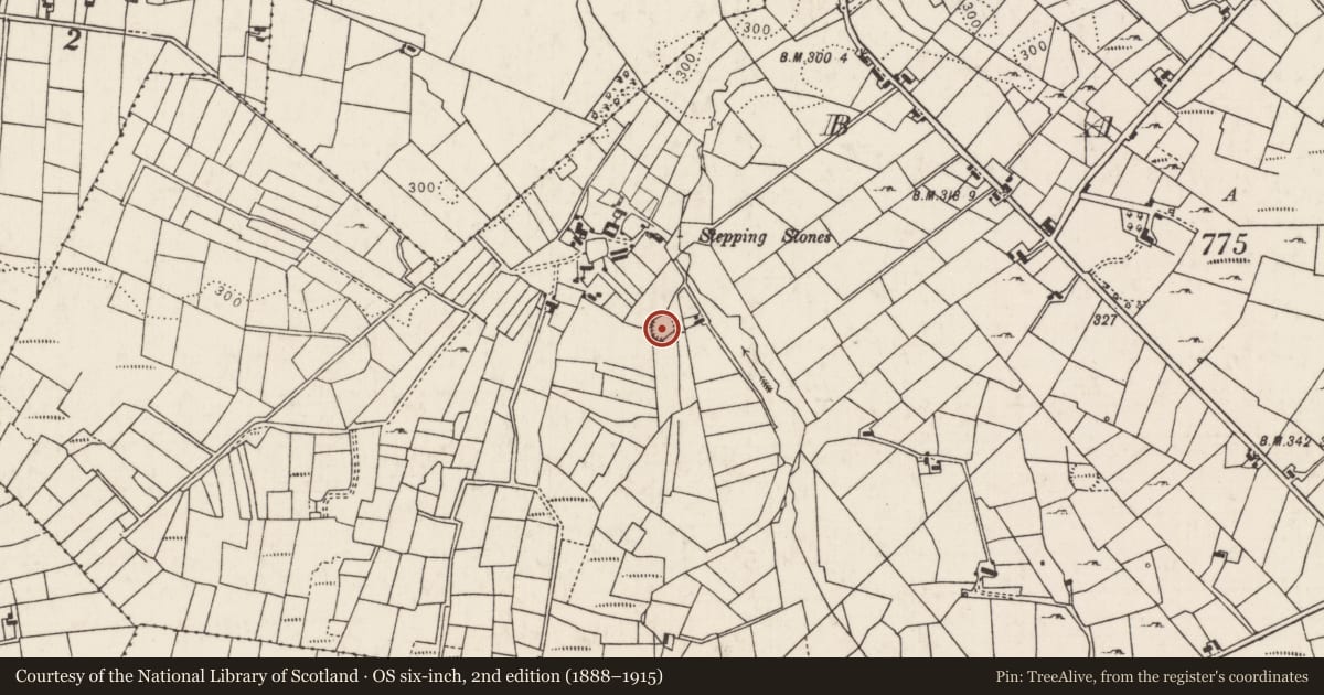
The record
- Townland
- Barroe (Costello By.)
- County
- Mayo
- Country
- Ireland
- First-edition OS map
- Indicated
- Latest-edition OS map
- Hachured
- Coordinates
- 53.96224, -8.71844
- SMR number
- MA063-015----
Slide toward Today to fade the historical sheet and see the modern map underneath.
David Rumsey Map Collection, Stanford LibrariesDavid Rumsey Map Collection, Stanford LibrariesDavid Rumsey Map Collection, Stanford LibrariesDavid Rumsey Map Collection, Stanford Libraries
4 historical maps cover this location, the earliest the 1790 map "Composite: Ireland." (David Rumsey Map Collection, Stanford Libraries).
Historical maps covering this location
- 1790 · Composite: Ireland. (David Rumsey Map Collection, Stanford Libraries)
- 1811 · Ireland. (David Rumsey Map Collection, Stanford Libraries)
- 1869 · Ireland. (David Rumsey Map Collection, Stanford Libraries)
- 1891 · Ireland 16 (David Rumsey Map Collection, Stanford Libraries)
This record in the National Monuments Service's Historic Environment Viewer ↗
The National Monuments Service's description
In a thicket of overgrowth at the N end of a pasture field. There is a stream c. 80m to E.
Circular area (estimated diam. 25-30m) defined by a stone bank, incorporated into later field walls at S, W and N. The interior is not noticeably raised relative to exterior ground level. It is defined at S–SW by a stone bank (Wth 2.5-3m; int. H 0.8m; ext. H 0.8m), and at WSW-N by a drystone wall (Wth 1.5m; H 1m), which appears to be a field wall; at NE–SE it is defined by a low stony rise, and at S the perimeter is incorporated into a later field wall. Immediately outside the stone bank at SE, a shallow depression (Wth 2.5m) is evident, with a hint of a rise on its outer edge. It is unclear if these features are evidence of a fosse and external bank.
There is a local tradition of a souterrain (MA063-015001-) and a children’s burial ground (MA063-015002-) in the interior. The interior is densely covered in brambles and ferns, and the perimeter is ringed with hazel, hawthorn and sycamore. Overgrowth impeded inspection.
Compiled by: Jane O'Shaughnessy
Date of upload: 8 April 2014
Nearby in the register
- Children's burial groundunder 1 mi
- Souterrainunder 1 mi
- Ringfort - rathunder 1 mi
- Ringfort - rathunder 1 mi
Other entries of the same register within about three miles of this one, by straight line.