Sites and Monuments Record · Ireland
Structure
Bofeenaun, County Mayo, Ireland
The record
- Townland
- Bofeenaun
- County
- Mayo
- Country
- Ireland
- First-edition OS map
- Not indicated
- Latest-edition OS map
- Not indicated
- Coordinates
- 53.97977, -9.35119
- SMR number
- MA059-017----
Slide toward Today to fade the historical sheet and see the modern map underneath.
David Rumsey Map Collection, Stanford LibrariesDavid Rumsey Map Collection, Stanford LibrariesDavid Rumsey Map Collection, Stanford LibrariesDavid Rumsey Map Collection, Stanford Libraries
4 historical maps cover this location, the earliest the 1753 map "Mappa geographica Regni Hiberniae" (David Rumsey Map Collection, Stanford Libraries).
Historical maps covering this location
- 1753 · Mappa geographica Regni Hiberniae (David Rumsey Map Collection, Stanford Libraries)
- 1790 · Composite: Ireland. (David Rumsey Map Collection, Stanford Libraries)
- 1869 · Ireland. (David Rumsey Map Collection, Stanford Libraries)
- 1891 · Ireland 16 (David Rumsey Map Collection, Stanford Libraries)
This record in the National Monuments Service's Historic Environment Viewer ↗
The National Monuments Service's description
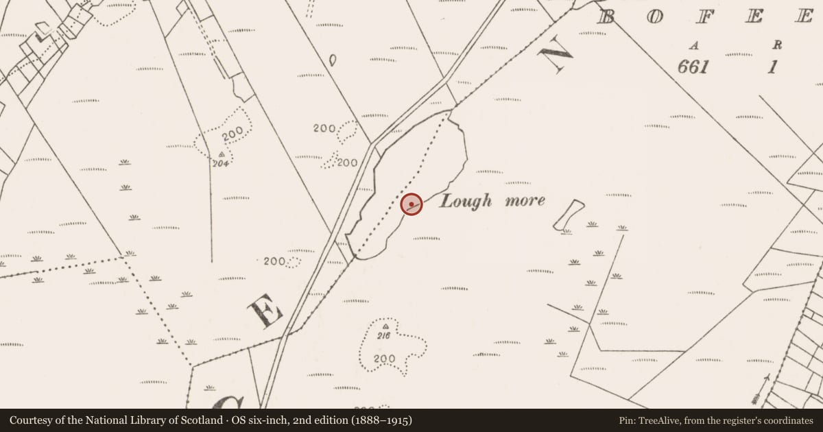
On the E shoreline of Lough More. Recorded in 1992 during a survey undertaken by the Irish Archaeological Wetland Unit of archaeological monuments in and around the lake, this monument consists of a double line (L 2.5m) of 14 small wooden stakes (diam. 0.02-0.03m; H 0.15-0.53m) set in a rough semi-circle. The stakes, which are mostly of willow, project between 0.05-0.15m above the present ground surface (the original lake bed, now exposed) and are severely eroded. Evidence of woodworking was visible in 1992. A radially split piece of oak and a quarter split willow post are located at the E end of the structure. (Jennings 1995, 199 (MA-BN0004)).
Compiled by: Jane O'Shaughnessy
Date of upload: 31 May 2017
References
Jennings, D. 1995 Lough More catalogue. In: Moloney et al. 1995 Blackwater survey & excavations. Artefact deterioration in peatlands. Lough More, Co. Mayo. Irish Archaeological Wetland Unit Transactions, Volume 4, 197-202 Dublin, OPW; UCD.
Nearby in the register
- Fulacht fiaunder 1 mi
- Crannogunder 1 mi
- Structureunder 1 mi
- Structureunder 1 mi
Other entries of the same register within about three miles of this one, by straight line.