Sites and Monuments Record · Ireland
Ringfort - rath
Ballindoo Or Doocastle, County Mayo, Ireland
The record
- Townland
- Ballindoo Or Doocastle
- County
- Mayo
- Country
- Ireland
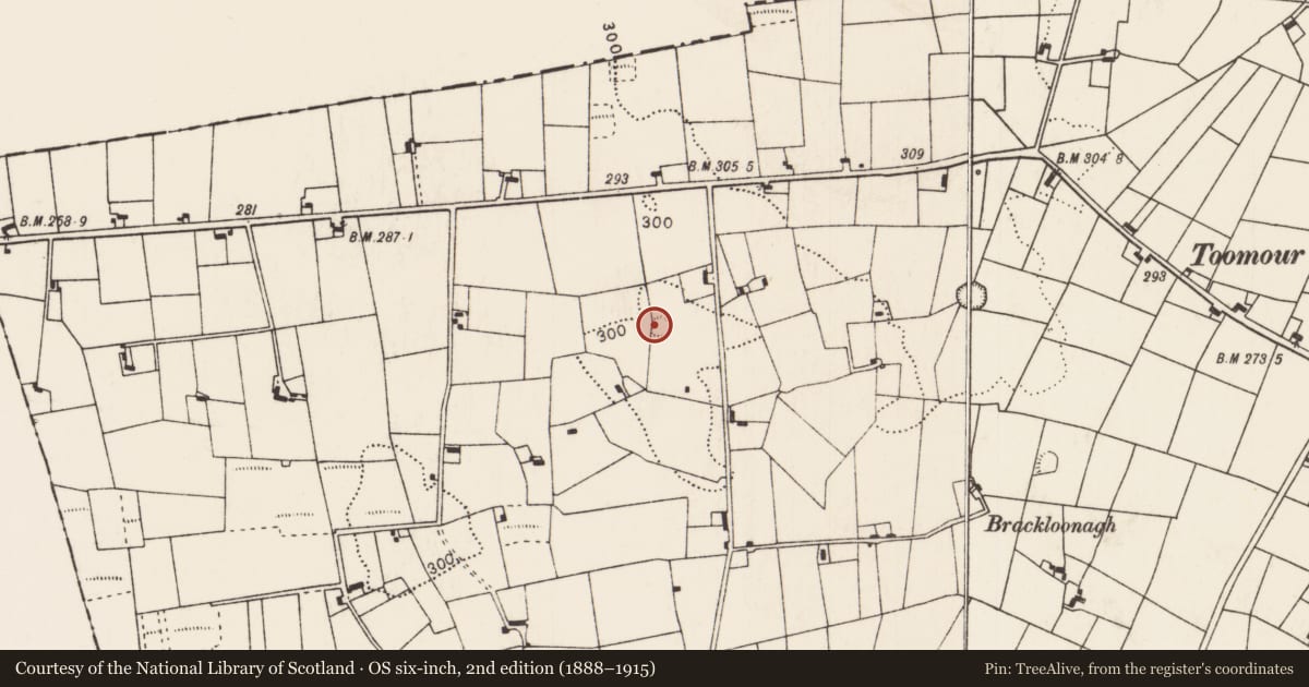
- First-edition OS map
- Indicated
- Latest-edition OS map
- Hachured
- Coordinates
- 54.02776, -8.66870
- SMR number
- MA051-001----
Slide toward Today to fade the historical sheet and see the modern map underneath.
David Rumsey Map Collection, Stanford LibrariesDavid Rumsey Map Collection, Stanford LibrariesDavid Rumsey Map Collection, Stanford LibrariesDavid Rumsey Map Collection, Stanford Libraries
4 historical maps cover this location, the earliest the 1790 map "Composite: Ireland." (David Rumsey Map Collection, Stanford Libraries).
Historical maps covering this location
- 1790 · Composite: Ireland. (David Rumsey Map Collection, Stanford Libraries)
- 1811 · Ireland. (David Rumsey Map Collection, Stanford Libraries)
- 1869 · Ireland. (David Rumsey Map Collection, Stanford Libraries)
- 1891 · Ireland 16 (David Rumsey Map Collection, Stanford Libraries)
This record in the National Monuments Service's Historic Environment Viewer ↗
The National Monuments Service's description
In pasture at the junction of two field fences, located on a low rise. Views are good to N, but somewhat restricted generally by field fences and trees.
Substantially raised circular area or platform (22.5m E−W; 19.8m N−S) defined by a scarp (H 1.4m at S, 1.6m at NNW), which is enhanced by the natural slope. At S−W the scarp has been modified and incorporated into a N−S and a E−W field fence which intersect at the rath, and largely respect its curve; here the scarp is faced with drystone walling, and is topped by a low jumble of loose stones. The scarp on the E arc has an almost vertical face, and shows evidence of erosion.
The interior has a slight slope down from centre to SW. The original entrance is not obvious; it may have been at SE where there is a low section of scarp, now partly blocked by a field fence.
A ring of deciduous and coniferous trees are planted around the perimeter on top of the rath platform.
Compiled by: Jane O'Shaughnessy
Date of upload: 17 June 2020
Nearby in the register
- Ringfort - rathunder 1 mi
- Megalithic tomb - unclassifiedunder 1 mi
- Enclosureunder 1 mi
- Children's burial groundunder 1 mi
Other entries of the same register within about three miles of this one, by straight line.