Sites and Monuments Record · Ireland
Megalithic tomb - unclassified
Ballindoo Or Doocastle, County Mayo, Ireland
The record
- Townland
- Ballindoo Or Doocastle
- County
- Mayo
- Country
- Ireland
- First-edition OS map
- Not indicated
- Latest-edition OS map
- Not indicated
- Coordinates
- 54.02615, -8.66135
- SMR number
- MA052-002----
Slide toward Today to fade the historical sheet and see the modern map underneath.
David Rumsey Map Collection, Stanford LibrariesDavid Rumsey Map Collection, Stanford LibrariesDavid Rumsey Map Collection, Stanford LibrariesDavid Rumsey Map Collection, Stanford Libraries
4 historical maps cover this location, the earliest the 1790 map "Composite: Ireland." (David Rumsey Map Collection, Stanford Libraries).
Historical maps covering this location
- 1790 · Composite: Ireland. (David Rumsey Map Collection, Stanford Libraries)
- 1811 · Ireland. (David Rumsey Map Collection, Stanford Libraries)
- 1869 · Ireland. (David Rumsey Map Collection, Stanford Libraries)
- 1891 · Ireland 16 (David Rumsey Map Collection, Stanford Libraries)
This record in the National Monuments Service's Historic Environment Viewer ↗
The National Monuments Service's description
Located in pasture, with gently rising ground to N. There is a N−S field fence immediately to W, and to W of that is an enclosure (MA052-002001-).
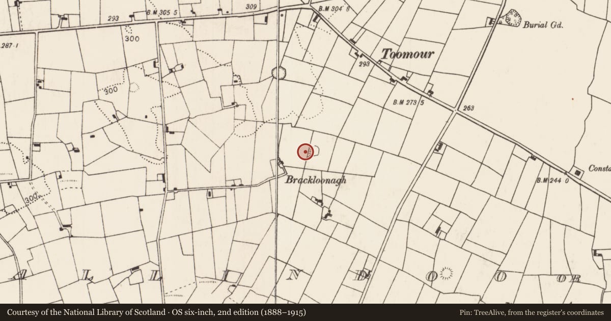
This unclassified megalithic tomb is not shown 1838 and 1920 OS 6-inch maps. Several upright stones, megalithic in size, are evident over an area of c. 10m NE−SW by c. 5m NW−SE. Two large close-set upright boulders are located immediately adjacent to the N−S field fence; one stone is partly incorporated into the fence; the other stone is immediately to NW. A third large upright stone is located 4m to SW of these, with a number of adjacent stones of uncertain significance. A cluster of three uprights are located 4.5m NW of the pair of large boulders: there are two close set stones on a NW−SE axis and the third stone is immediately to E of these and set perpendicular to them. The remains are too fragmentary to classify with certainty, and are partly concealed by a thicket of blackthorn.
Compiled by: Jane O'Shaughnessy
Date of upload: 26 June 2020
Nearby in the register
- Enclosureunder 1 mi
- Ringfort - rathunder 1 mi
- Ringfort - rathunder 1 mi
- Ringfort - rathunder 1 mi
Other entries of the same register within about three miles of this one, by straight line.