Sites and Monuments Record · Ireland
House - indeterminate date
Carrowsteelagh, County Mayo, Ireland
The record
- Townland
- Carrowsteelagh
- County
- Mayo
- Country
- Ireland
- First-edition OS map
- Not indicated
- Latest-edition OS map
- Not indicated
- Coordinates
- 54.27747, -9.22278
- SMR number
- MA008-007002-
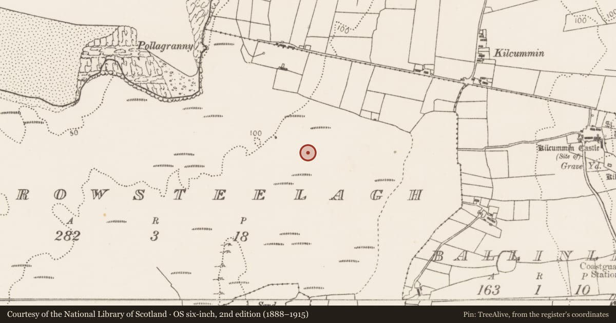
Slide toward Today to fade the historical sheet and see the modern map underneath.
David Rumsey Map Collection, Stanford LibrariesDavid Rumsey Map Collection, Stanford LibrariesDavid Rumsey Map Collection, Stanford LibrariesDavid Rumsey Map Collection, Stanford Libraries
4 historical maps cover this location, the earliest the 1790 map "Composite: Ireland." (David Rumsey Map Collection, Stanford Libraries).
Historical maps covering this location
- 1790 · Composite: Ireland. (David Rumsey Map Collection, Stanford Libraries)
- 1841 · Ireland. (David Rumsey Map Collection, Stanford Libraries)
- 1869 · Ireland. (David Rumsey Map Collection, Stanford Libraries)
- 1891 · Ireland 16 (David Rumsey Map Collection, Stanford Libraries)
This record in the National Monuments Service's Historic Environment Viewer ↗
The National Monuments Service's description
In an undulating expanse of sand dunes and grassland, which stretches E of Lackan Bay, just S of Kilcummin Head. This is the approximate location of a house found by Major Aldridge in the mid-20th century, and recorded by him in a sketch (NMI Correspondence files 1966). The sketch plan shows an oval area (11m E–W; 7m N–S), which appears to be defined by a low enclosing wall, with a small rectangular annex (4.5m N–S; 1.5m E–W) appended to the E side. In the wall at W three stones are set perpendicular to the wall, possibly defining an entrance. In the centre of the house there is a rectangular setting (0.4m E–W; 0.6m N–S) of four stones, annotated as a hearth; the N, E and S sides are defined by the stones, the W side is open. A note in the SMR file indicates that the house was located ‘a short distance to W of’ an enclosure (MA008-013----). The house, which may have been associated with a midden (MA008-007001-), was not found when the area was inspected in 1995 and 2010.
Compiled by: Jane O'Shaughnessy
Date of upload: 15 July 2019
Nearby in the register
- Middenunder 1 mi
- Enclosureunder 1 mi
- Barrow - unclassifiedunder 1 mi
- Excavation - miscellaneousunder 1 mi
Other entries of the same register within about three miles of this one, by straight line.