Sites and Monuments Record · Ireland
Excavation - miscellaneous
Ballymackeamore, County Limerick, Ireland
The record
- Townland
- Ballymackeamore
- County
- Limerick
- Country
- Ireland
- Coordinates
- 52.50499, -8.76876
- SMR number
- LI030-175----
Slide toward Today to fade the historical sheet and see the modern map underneath.
David Rumsey Map Collection, Stanford LibrariesDavid Rumsey Map Collection, Stanford LibrariesDavid Rumsey Map Collection, Stanford LibrariesDavid Rumsey Map Collection, Stanford Libraries
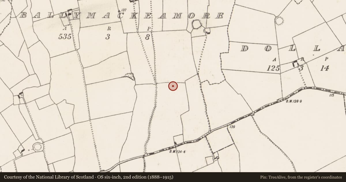
4 historical maps cover this location, the earliest the 1790 map "Composite: Ireland." (David Rumsey Map Collection, Stanford Libraries).
Historical maps covering this location
- 1790 · Composite: Ireland. (David Rumsey Map Collection, Stanford Libraries)
- 1883 · Ireland 3. (David Rumsey Map Collection, Stanford Libraries)
- 1891 · Ireland 16 (David Rumsey Map Collection, Stanford Libraries)
- 1904 · Sheet 13. (David Rumsey Map Collection, Stanford Libraries)
This record in the National Monuments Service's Historic Environment Viewer ↗
The National Monuments Service's description
This site was exposed during monitoring of topsoil-stripping along the route of a Bord Gáis Éireann Pipeline to the West. Excavation by Emer Dennehy (02E0489) revealed an 'isolated stake-hole measured 0.14m north-south by 0.11m and was 0.09m deep. The subcircular cut had straight sides, a sharp break of slope at the top and bottom, and a flat base. The feature contained a single, uniform fill composed of 2% sandstone and 8% charcoal in a dark grey, silty clay matrix with orange mottling. The inclusion of charcoal may indicate in situ burning of a vertically inserted stake blunted at the base. A shallow pit, BGE 3/66/3 (No. 1103 below, 02E0490) lay c. 70m to the west. As there were no other associated features, it was not possible to decide on the function or timescale of this stake-hole.' The above description is posted on the web at the following internet address: http://www.excavations.ie/ (accessed 22 August 2012).
Compiled by: Denis Power
Date of upload: 22 August 2012
Nearby in the register
- Pitunder 1 mi
- Pitunder 1 mi
- Ringfort - rathunder 1 mi
- Excavation - miscellaneousunder 1 mi
Other entries of the same register within about three miles of this one, by straight line.