Sites and Monuments Record · Ireland
Pit
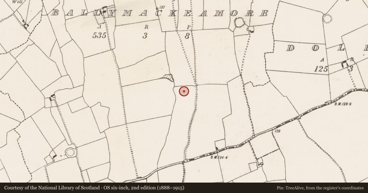
Ballymackeamore, County Limerick, Ireland
The record
- Townland
- Ballymackeamore
- County
- Limerick
- Country
- Ireland
- Coordinates
- 52.50485, -8.77088
- SMR number
- LI030-176----
Slide toward Today to fade the historical sheet and see the modern map underneath.
David Rumsey Map Collection, Stanford LibrariesDavid Rumsey Map Collection, Stanford LibrariesDavid Rumsey Map Collection, Stanford LibrariesDavid Rumsey Map Collection, Stanford Libraries
4 historical maps cover this location, the earliest the 1790 map "Composite: Ireland." (David Rumsey Map Collection, Stanford Libraries).
Historical maps covering this location
- 1790 · Composite: Ireland. (David Rumsey Map Collection, Stanford Libraries)
- 1883 · Ireland 3. (David Rumsey Map Collection, Stanford Libraries)
- 1891 · Ireland 16 (David Rumsey Map Collection, Stanford Libraries)
- 1904 · Sheet 13. (David Rumsey Map Collection, Stanford Libraries)
This record in the National Monuments Service's Historic Environment Viewer ↗
The National Monuments Service's description
This site was excavated by Graham Hull (02E0578) as part of Bord Gáis Éireann's Pipeline to the West. 'A single pit with two fills was excavated. The pit was irregularly shaped, with maximum dimensions of 1.12m north-south by 0.9m, and was 0.27m deep. The profile showed a steeper slope on the northern than on the southern side. The primary fill was redeposited natural clay with occasional charcoal flecks and had a maximum thickness of 0.1m. The secondary fill was a mid-grey/brown silty clay with a moderate quantity of charcoal inclusions. This upper fill was 0.17m thick and appeared have been deliberately placed rather than occurring as the consequence of cumulative silting. No explanation or date for the discrete pit is readily apparent. A comparison with similar features and other archaeological deposits found in the vicinity may aid interpretation.' The above description is posted on the web at the following internet address: http://www.excavations.ie/ (accessed 22 August 2012).
Compiled by: Denis Power
Date of upload: 22 August 2012
Nearby in the register
- Pitunder 1 mi
- Excavation - miscellaneousunder 1 mi
- Excavation - miscellaneousunder 1 mi
- Excavation - miscellaneousunder 1 mi
Other entries of the same register within about three miles of this one, by straight line.