Sites and Monuments Record · Ireland
Fulacht fia
Aghnahunshin, County Leitrim, Ireland
The record
- Townland
- Aghnahunshin
- County
- Leitrim
- Country
- Ireland
- First-edition OS map
- Not indicated
- Latest-edition OS map
- Not indicated
- Coordinates
- 53.82321, -7.90860
- SMR number
- LE037-017001-
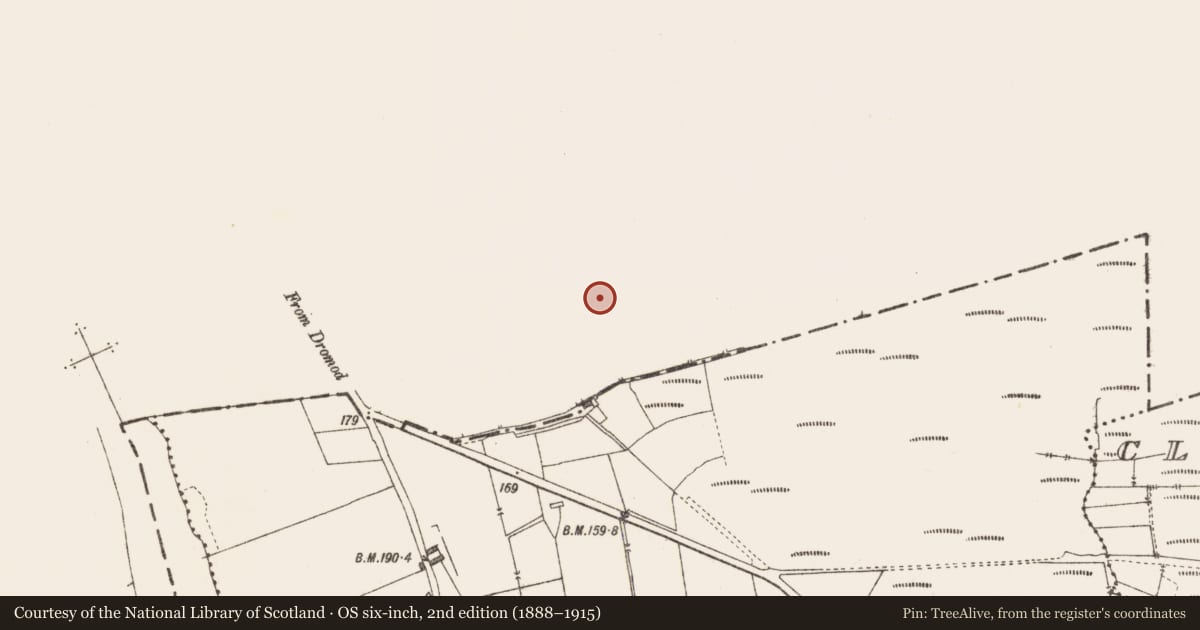
Slide toward Today to fade the historical sheet and see the modern map underneath.
David Rumsey Map Collection, Stanford LibrariesDavid Rumsey Map Collection, Stanford LibrariesDavid Rumsey Map Collection, Stanford LibrariesDavid Rumsey Map Collection, Stanford Libraries
4 historical maps cover this location, the earliest the 1790 map "Composite: Ireland." (David Rumsey Map Collection, Stanford Libraries).
Historical maps covering this location
- 1790 · Composite: Ireland. (David Rumsey Map Collection, Stanford Libraries)
- 1811 · Ireland. (David Rumsey Map Collection, Stanford Libraries)
- 1869 · Ireland. (David Rumsey Map Collection, Stanford Libraries)
- 1891 · Ireland 16 (David Rumsey Map Collection, Stanford Libraries)
This record in the National Monuments Service's Historic Environment Viewer ↗
The National Monuments Service's description
Situated on a narrow low NE-SW ridge at the edge of a raised peat bog that extends off to the E and S. First identified in centre-line testing (05E0983) for a new line of the N4 (O’Connor et al. 2005, 43), and later fully excavated (E003311) as a part of Aghnahunshin. Excavation recorded three fulachta fia and associated features. This is a spread of burnt and broken stone (dims 10.2m x 9m; max. T 0.14m) overlying a circular trough (diam. 2m; D 0.7m). The trough had four layers with varying proportions of silt, sand, burnt stone and charcoal, and it was cut by a shallow feature (dims 4.5m x 1.5m; D 0.3m) extending off to the NE, which may have been a step. This was filled with three layers of burnt stone. (Seaver and O’Connor 2009, 13-14; Seaver 2009, 311)
Compiled by: Michael Moore
Date of upload: 9 January 2020
O’Connor, D. J., Marta Muniz Pérez and Sheelagh Conran 2005 N4 Dromod-Roosky Bypass. Advance Archaeological Works Contract Licence No. 05E0983 Preliminary Report. Unpublished, CRDS
References
Seaver, M. and O’Connor, D. J. 2009 N4 Dromod – Roosky Bypass. Advance Archaeological Works Contract. Aghnahunshin. Ministerial Direction A 31 (A31-023/E003311) Final Report, Unpublished, CRDS
Seaver, M. 2009 Aughnahunshin. Prehistoric. In I. Bennett (ed.) Excavations 2006: summary accounts of archaeological excavations in Ireland, 311-2, No. 1199. Dublin, Wordwell
Nearby in the register
- Fulacht fiaunder 1 mi
- Fulacht fiaunder 1 mi
- Fulacht fiaunder 1 mi
- Fulacht fiaunder 1 mi
Other entries of the same register within about three miles of this one, by straight line.