Sites and Monuments Record · Ireland
Graveslab
Tullaroan, County Kilkenny, Ireland
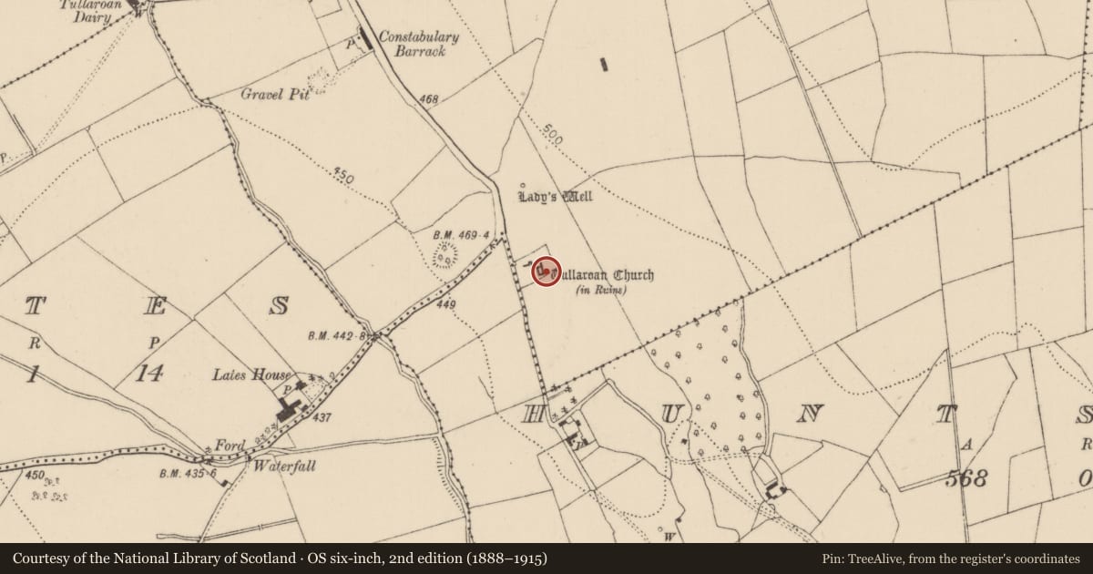
The record
- Townland
- Tullaroan
- County
- Kilkenny
- Country
- Ireland
- First-edition OS map
- Not indicated
- Latest-edition OS map
- Not indicated
- Coordinates
- 52.65803, -7.43354
- SMR number
- KK018-032004-
Slide toward Today to fade the historical sheet and see the modern map underneath.
David Rumsey Map Collection, Stanford LibrariesDavid Rumsey Map Collection, Stanford LibrariesDavid Rumsey Map Collection, Stanford LibrariesDavid Rumsey Map Collection, Stanford Libraries
4 historical maps cover this location, the earliest the 1790 map "Composite: Ireland." (David Rumsey Map Collection, Stanford Libraries).
Historical maps covering this location
- 1790 · Composite: Ireland. (David Rumsey Map Collection, Stanford Libraries)
- 1869 · Ireland. (David Rumsey Map Collection, Stanford Libraries)
- 1891 · Ireland 16 (David Rumsey Map Collection, Stanford Libraries)
- 1904 · Sheet 13. (David Rumsey Map Collection, Stanford Libraries)
This record in the National Monuments Service's Historic Environment Viewer ↗
The National Monuments Service's description
Placed in a upright position, fixed to the E wall of the Grace chapel at Tullaroan medieval church (KK018-032001-). This tapering slab (L 1.96m; Wth at top 0.57m; Wth at base 0..3m; T 0.14m) decorated with a four-armed cross with fleur-de-lis terminals, in raised relief, with central lozenge. The shaft has a fleur-de-lis terminal with a knop directly above it. The inscription on the upper surface of the slab, though very faded, appears to be in Lombardic script and runs parallel to the shaft on the dexter face. Carrigan (1905, vol. 3, 494) gives the inscription as: DAV : FIS : HVVE : GIT : ICI : DEV : DE : SA : [A]LME : EIT : MERCI and the translation as: David Fitz Huue lies here. God on his soul have mercy. Around the edge of the surface of the slab there is a raised border and the upper portion of the sides are chamfered (Wth 0.075m). The slab dates from the 13th/14th century.
Compiled by: Jean Farrelly
Date of revised upload: 28 February 2017
References
Carrigan, Rev. W. 1905 (Reprint 1981) The history and antiquities of the diocese of Ossory, 4 vols. Kilkenny. Roberts Books and Wellbrook Press.
Nearby in the register
- Graveslabunder 1 mi
- Tomb - chest tombunder 1 mi
- Tomb - chest tombunder 1 mi
- Churchunder 1 mi
Other entries of the same register within about three miles of this one, by straight line.