Sites and Monuments Record · Ireland
Graveslab
Freshford Lots, County Kilkenny, Ireland
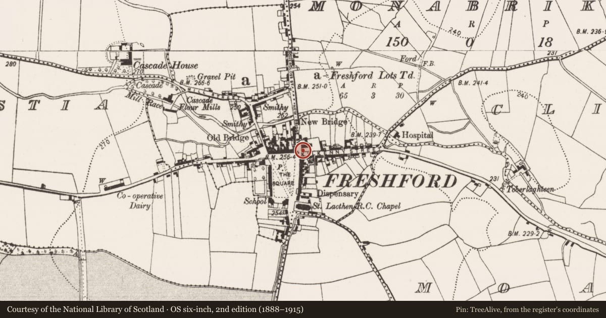
The record
- Townland
- Freshford Lots
- County
- Kilkenny
- Country
- Ireland
- First-edition OS map
- Not indicated
- Latest-edition OS map
- Not indicated
- Coordinates
- 52.73261, -7.39799
- SMR number
- KK013-023012-
Slide toward Today to fade the historical sheet and see the modern map underneath.
David Rumsey Map Collection, Stanford LibrariesDavid Rumsey Map Collection, Stanford LibrariesDavid Rumsey Map Collection, Stanford LibrariesDavid Rumsey Map Collection, Stanford Libraries
4 historical maps cover this location, the earliest the 1790 map "Composite: Ireland." (David Rumsey Map Collection, Stanford Libraries).
Historical maps covering this location
- 1790 · Composite: Ireland. (David Rumsey Map Collection, Stanford Libraries)
- 1811 · Ireland. (David Rumsey Map Collection, Stanford Libraries)
- 1869 · Ireland. (David Rumsey Map Collection, Stanford Libraries)
- 1891 · Ireland 16 (David Rumsey Map Collection, Stanford Libraries)
This record in the National Monuments Service's Historic Environment Viewer ↗
The National Monuments Service's description
Inserted in the inner face of the wall on the W side of the C of I graveyard (KK013-023005-), 0.6m N of the entrance to the graveyard.
The upper portion of a rectangular limestone graveslab (Wth 1.1m; H 0.83m). There are three lines of an inscription which run along the full width of the top of the slab, with a date of 1693 or 1695 at the start of the lowest third line. The inscription in English in roman capitals is very worn and begins, ‘HERE LIES CORNELIUS (?) GEALE OF ….1693/5’. The remaining two thirds of the slab is empty or is completely worn.
See attached:
KK013-023012-_01 Overview of graveslab
KK013-023012-_02 Detail of inscription showing the date
Compiled by: Jean Farrelly
Date of upload: 22 August 2022
Nearby in the register
- Graveslabunder 1 mi
- Fontunder 1 mi
- Historic townunder 1 mi
- Churchunder 1 mi
Other entries of the same register within about three miles of this one, by straight line.