Sites and Monuments Record · Ireland
Font
Freshford Lots, County Kilkenny, Ireland
The record
- Townland
- Freshford Lots
- County
- Kilkenny
- Country
- Ireland
- First-edition OS map
- Not indicated
- Latest-edition OS map
- Not indicated
- Coordinates
- 52.73266, -7.39799
- SMR number
- KK013-023005-
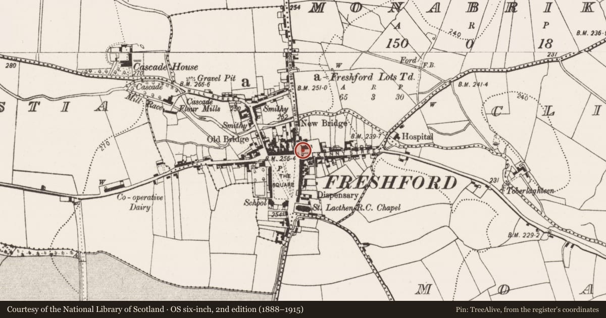
Slide toward Today to fade the historical sheet and see the modern map underneath.
David Rumsey Map Collection, Stanford LibrariesDavid Rumsey Map Collection, Stanford LibrariesDavid Rumsey Map Collection, Stanford LibrariesDavid Rumsey Map Collection, Stanford Libraries
4 historical maps cover this location, the earliest the 1790 map "Composite: Ireland." (David Rumsey Map Collection, Stanford Libraries).
Historical maps covering this location
- 1790 · Composite: Ireland. (David Rumsey Map Collection, Stanford Libraries)
- 1811 · Ireland. (David Rumsey Map Collection, Stanford Libraries)
- 1869 · Ireland. (David Rumsey Map Collection, Stanford Libraries)
- 1891 · Ireland 16 (David Rumsey Map Collection, Stanford Libraries)
This record in the National Monuments Service's Historic Environment Viewer ↗
The National Monuments Service's description
Within the medieval C of I church of St Lachtain (KK013-023001-), Freshford, in the SW corner, there is a limestone font, 'possibly late medieval' in date (Quinlan and Foley 2004, 17)). The upper third portion of the font is square, while the angles of the lower two-thirds portion have been deeply chamfered, in effect forming an octagonal plinth. It rests on a modern octagonal base.
Compiled by: Jean Farrelly
Date of upload: 23 April 2020
References
Quinlan, M. and Foley, T. 2004 Saint Lachtain’s Church, Freshford, County Kilkenny: conservation plan. Kilkenny. The Heritage Council.
Nearby in the register
- Graveslabunder 1 mi
- Graveslabunder 1 mi
- Churchunder 1 mi
- Historic townunder 1 mi
Other entries of the same register within about three miles of this one, by straight line.