Sites and Monuments Record · Ireland
Ring-ditch
Rathlogan, County Kilkenny, Ireland
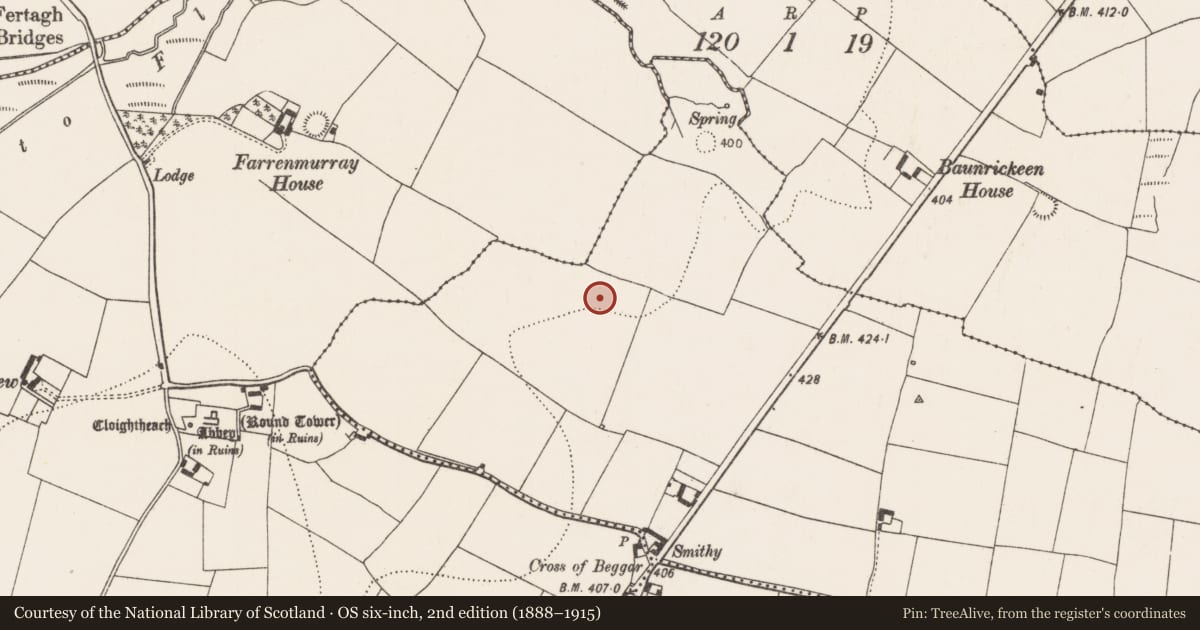
The record
- Townland
- Rathlogan
- County
- Kilkenny
- Country
- Ireland
- First-edition OS map
- Not indicated
- Latest-edition OS map
- Not indicated
- Coordinates
- 52.78005, -7.53597
- SMR number
- KK008-052----
Slide toward Today to fade the historical sheet and see the modern map underneath.
David Rumsey Map Collection, Stanford LibrariesDavid Rumsey Map Collection, Stanford LibrariesDavid Rumsey Map Collection, Stanford LibrariesDavid Rumsey Map Collection, Stanford Libraries
4 historical maps cover this location, the earliest the 1790 map "Composite: Ireland." (David Rumsey Map Collection, Stanford Libraries).
Historical maps covering this location
- 1790 · Composite: Ireland. (David Rumsey Map Collection, Stanford Libraries)
- 1811 · Ireland. (David Rumsey Map Collection, Stanford Libraries)
- 1869 · Ireland. (David Rumsey Map Collection, Stanford Libraries)
- 1891 · Ireland 16 (David Rumsey Map Collection, Stanford Libraries)
This record in the National Monuments Service's Historic Environment Viewer ↗
The National Monuments Service's description
On the floor of the Goul river valley, a little above the flood plain, in a flat tilled field amid rolling grassland. There are good views across the valley in all directions. A ring-ditch (int. diam. c. 14m) was identified as a cropmark on an aerial photograph (CUCAP BDL 33, 1970). The monument is not visible at ground level.
Compiled by: Jean Farrelly
Date of upload: 16 October 2017
Nearby in the register
- Excavation - miscellaneousunder 1 mi
- Kiln - limeunder 1 mi
- Enclosureunder 1 mi
- Fulacht fiaunder 1 mi
Other entries of the same register within about three miles of this one, by straight line.