Sites and Monuments Record · Ireland
Ritual site - holy well
Tinnalintan, County Kilkenny, Ireland
The record
- Townland
- Tinnalintan
- County
- Kilkenny
- Country
- Ireland
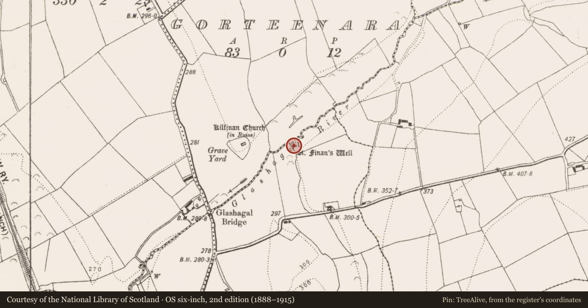
- First-edition OS map
- St. Finans Well
- Latest-edition OS map
- St. Finans Well
- Coordinates
- 52.81938, -7.33323
- SMR number
- KK005-012001-
Slide toward Today to fade the historical sheet and see the modern map underneath.
David Rumsey Map Collection, Stanford LibrariesDavid Rumsey Map Collection, Stanford LibrariesDavid Rumsey Map Collection, Stanford LibrariesDavid Rumsey Map Collection, Stanford Libraries
4 historical maps cover this location, the earliest the 1790 map "Composite: Ireland." (David Rumsey Map Collection, Stanford Libraries).
Historical maps covering this location
- 1790 · Composite: Ireland. (David Rumsey Map Collection, Stanford Libraries)
- 1811 · Ireland. (David Rumsey Map Collection, Stanford Libraries)
- 1869 · Ireland. (David Rumsey Map Collection, Stanford Libraries)
- 1891 · Ireland 16 (David Rumsey Map Collection, Stanford Libraries)
This record in the National Monuments Service's Historic Environment Viewer ↗
The National Monuments Service's description
In a densely wooded copse c. 20m SE of Glashagal River. According to the OS Letters (1839) (O'Flanagan 1939, vol. 1, 26), at this well, dedicated to St Finan, 'a Patron was held some day in August till about thirty years ago'. It is described by Carrigan (1905, vol. 2, 106) as, 'a fine spring, gushing forth from under an aged ash' and he relates that, 'Pilgrimages were made at the well, especially by persons afflicted with head-ache, till about 1835'. According to local tradition the well moved c. 70m to the SW when an overhanging ash tree was uprooted. This second spring is at present a muddy hollow covered in dense overgrowth, c. 0.8m below field level. The well itself, now dry, was the source of a stream which flowed N into the Glashagal River. The shallow channel created by this stream also serves as the W side of the fosse of an adjacent moated site (KK005-012002-).
Compiled by: Jean Farrelly
Date of upload: 26 April 2017
References
O'Flanagan, Rev. M. (Compiler) 1930 Letters containing information relative to the antiquities of the county of Kilkenny collected during the progress of the Ordnance Survey in 1839. Bray.
Carrigan, Rev. W. 1905 (Reprint 1981) The history and antiquities of the diocese of Ossory, 4 vols. Kilkenny. Roberts Books and Wellbrook Press.
Nearby in the register
- Enclosureunder 1 mi
- Churchunder 1 mi
- Graveyardunder 1 mi
- Ecclesiastical enclosureunder 1 mi
Other entries of the same register within about three miles of this one, by straight line.