Sites and Monuments Record · Ireland
Graveyard
Gorteenara, County Kilkenny, Ireland
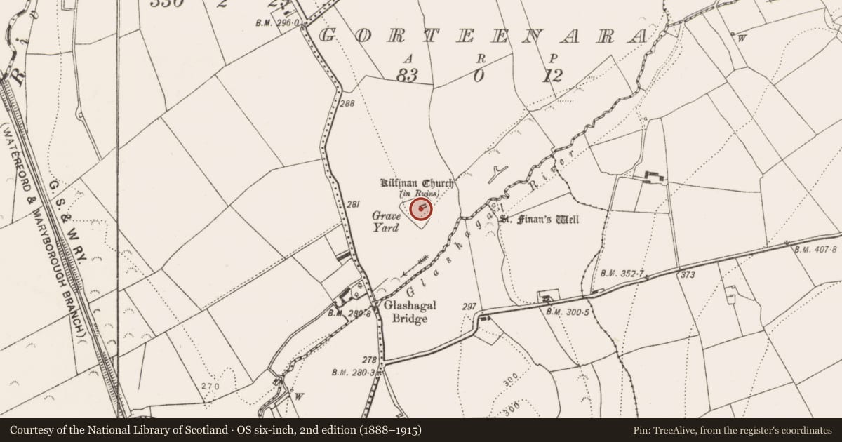
The record
- Townland
- Gorteenara
- County
- Kilkenny
- Country
- Ireland
- First-edition OS map
- Grave Yard
- Latest-edition OS map
- Grave Yard
- Coordinates
- 52.81938, -7.33549
- SMR number
- KK005-011002-
Slide toward Today to fade the historical sheet and see the modern map underneath.
David Rumsey Map Collection, Stanford LibrariesDavid Rumsey Map Collection, Stanford LibrariesDavid Rumsey Map Collection, Stanford LibrariesDavid Rumsey Map Collection, Stanford Libraries
4 historical maps cover this location, the earliest the 1790 map "Composite: Ireland." (David Rumsey Map Collection, Stanford Libraries).
Historical maps covering this location
- 1790 · Composite: Ireland. (David Rumsey Map Collection, Stanford Libraries)
- 1811 · Ireland. (David Rumsey Map Collection, Stanford Libraries)
- 1869 · Ireland. (David Rumsey Map Collection, Stanford Libraries)
- 1891 · Ireland 16 (David Rumsey Map Collection, Stanford Libraries)
This record in the National Monuments Service's Historic Environment Viewer ↗
The National Monuments Service's description
On a low hill in undulating pasture. A medieval parish church (KK005-011001-) is located in the NE sector. A sub-triangular graveyard (dims. 48.6m E-W x 52.6m N-S), which overlies an earlier enclosure (KK005-011003-), is enclosed by an earth and stone bank (max. ext. H 1.10m; max. int. H 0.9m; Wth 2m including slip) which is best preserved from N-E and SW-W. By the 19th-century, as recorded in the OS Letters (1839), (O'Flanagan 1930, vol. 1, 26), the graveyard was in use as a private burial ground for the Brenan family of Bagnellstown (formerly Eden Hall). The headstones and two table tombs date from the mid-19th century. There is a local tradition that famine victims and unbaptised children were buried here, though there are grave-markers.
Compiled by: Jean Farrelly
Date of upload: 26 April 2017
References
O'Flanagan, Rev. M. (Compiler) 1930 Letters containing information relative to the antiquities of the county of Kilkenny collected during the progress of the Ordnance Survey in 1839. Bray.
Nearby in the register
- Churchunder 1 mi
- Ecclesiastical enclosureunder 1 mi
- Ritual site - holy wellunder 1 mi
- Enclosureunder 1 mi
Other entries of the same register within about three miles of this one, by straight line.