Sites and Monuments Record · Ireland
House - indeterminate date
Kiltiernan East, County Galway, Ireland
The record
- Townland
- Kiltiernan East
- County
- Galway
- Country
- Ireland
- First-edition OS map
- Not indicated
- Latest-edition OS map
- Not indicated
- Coordinates
- 53.18803, -8.84203
- SMR number
- GA103-139005-
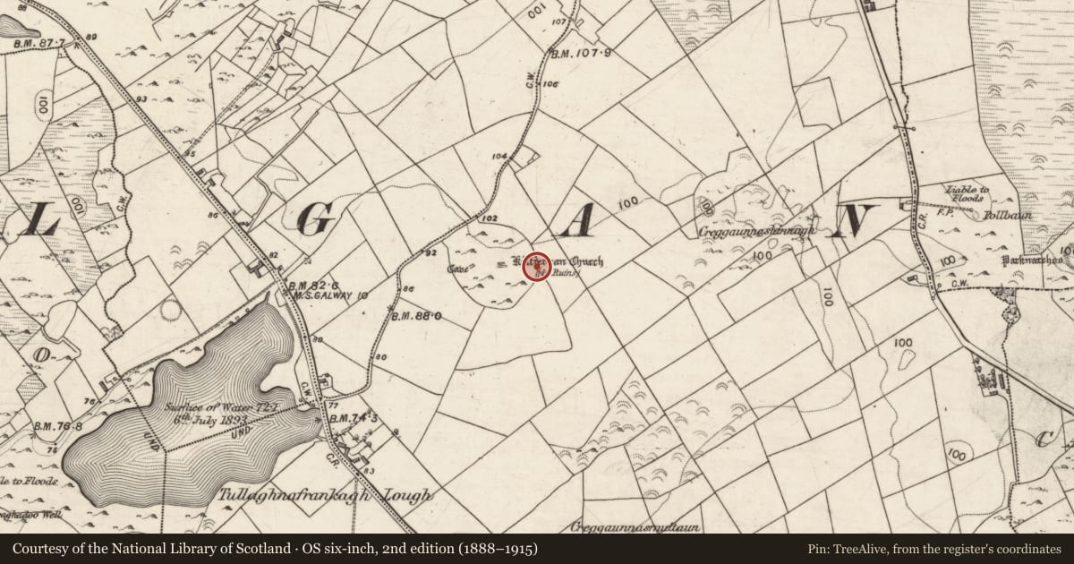
Slide toward Today to fade the historical sheet and see the modern map underneath.
David Rumsey Map Collection, Stanford LibrariesDavid Rumsey Map Collection, Stanford LibrariesDavid Rumsey Map Collection, Stanford LibrariesDavid Rumsey Map Collection, Stanford Libraries
4 historical maps cover this location, the earliest the 1753 map "Mappa geographica Regni Hiberniae" (David Rumsey Map Collection, Stanford Libraries).
Historical maps covering this location
- 1753 · Mappa geographica Regni Hiberniae (David Rumsey Map Collection, Stanford Libraries)
- 1790 · Composite: Ireland. (David Rumsey Map Collection, Stanford Libraries)
- 1869 · Ireland. (David Rumsey Map Collection, Stanford Libraries)
- 1891 · Ireland 16 (David Rumsey Map Collection, Stanford Libraries)
This record in the National Monuments Service's Historic Environment Viewer ↗
The National Monuments Service's description
Located within the ecclesiastical enclosure (GA103-139001-) at Kiltiernan, and abutting the enclosure wall at E. This rectangular house site (int. dims. c. 7m E-W; 3.96m N-S) was one of three (see also GA103-139006- and GA103-139007-) excavated by Duignan in 1950 and 1953 (Waddell and Clyne 1995, 162- 8). The walls which survived to one or two courses were constructed of double-faced rubble masonry. The SW and NW corners were rounded externally but angled internally. The entrance gap was located in the middle of the S wall. Animal bone fragments and oyster shells were recovered from the interior. Finds included a fragment of a quernstone, an iron knife of 10th-14th century date as well as modern earthenware and clay pipes.
Compiled by: Olive Alcock
Date of upload: 8 February 2018
References
Waddell, J. and Clyne, M. 1995 M.V. Duignan's excavations at Kilternan, Co. Galway, 1950-1953. Journal of the Galway Archaeological and Historical Society 47, 149-203.
Nearby in the register
- House - indeterminate dateunder 1 mi
- House - indeterminate dateunder 1 mi
- Churchunder 1 mi
- Graveyardunder 1 mi
Other entries of the same register within about three miles of this one, by straight line.