Sites and Monuments Record · Ireland
Structure
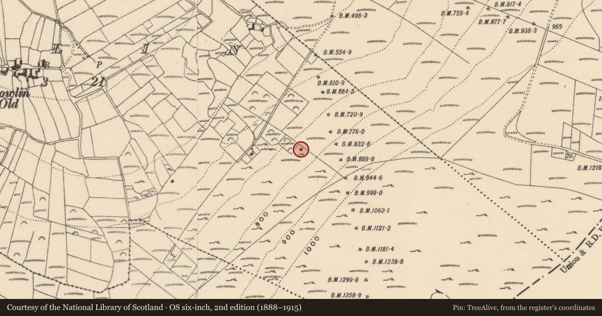
Gowlin, County Carlow, Ireland
The record
- Townland
- Gowlin
- County
- Carlow
- Country
- Ireland
- First-edition OS map
- Not indicated
- Latest-edition OS map
- Not indicated
- Coordinates
- 52.53564, -6.84147
- SMR number
- CW025-009----
Slide toward Today to fade the historical sheet and see the modern map underneath.
University Library, Vrije Universiteit AmsterdamUniversity Library, Vrije Universiteit AmsterdamDavid Rumsey Map Collection, Stanford LibrariesDavid Rumsey Map Collection, Stanford Libraries
4 historical maps cover this location, the earliest the 1790 map "Composite: Ireland." (David Rumsey Map Collection, Stanford Libraries).
Historical maps covering this location
- 1790 · Composite: Ireland. (David Rumsey Map Collection, Stanford Libraries)
- 1891 · Ireland 16 (David Rumsey Map Collection, Stanford Libraries)
- 1904 · Sheet 14, 1904 (University Library, Vrije Universiteit Amsterdam)
- 1911 · Sheet 14, 1911 (University Library, Vrije Universiteit Amsterdam)
This record in the National Monuments Service's Historic Environment Viewer ↗
The National Monuments Service's description
On a slight natural terrace, on an otherwise very steep NW-facing slope of Blackstairs Mountain, in coniferous forestry. There are extensive views SW-W-N overlooking the plain of the River Barrow.
An irregular stone structure (int. dims. 1.45m NE-SW; 2.25m max. surviving NE-SW; ext. dims. 2.2m NE-SW; 3.2m max. surviving NE-SW) composed of dry-stone walling (int. H 0.45m; ext. H 0.4m; wall T 0.5-0.9m) which survives two courses high. The N half of the structure appears to have been truncated, probably by tree planting activity, and there is a large conifer growing in the NW sector and another medium-sized conifer in the interior in the NE sector. A platform (CW025-010----), possibly for charcoal making, is located c. 35m uphill to the SE.
See attached photographs:
CW025-009----_01 From SW with ranging-rod in interior
CW025-009----_02 From SE with ranging-rod in interior
CW025-009----_03 From NE with ranging-rod in interior
Compiled by: Jean Farrelly
Date of upload: 25 May 2022
Nearby in the register
- Charcoal-making siteunder 1 mi
- Ringfort - cashelunder 1 mi
- Rock art (present location)under 1 mi
- Ringfort - rathunder 1 mi
Other entries of the same register within about three miles of this one, by straight line.