Sites and Monuments Record · Ireland
Rock art
Ballybane West, County Cork, Ireland
The record
- Townland
- Ballybane West
- County
- Cork
- Country
- Ireland
- Latest-edition OS map
- Not indicated
- Coordinates
- 51.59233, -9.41773
- SMR number
- CO131-039----
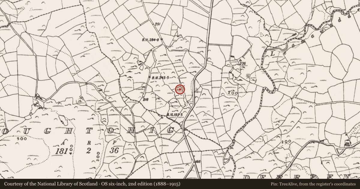
Slide toward Today to fade the historical sheet and see the modern map underneath.
David Rumsey Map Collection, Stanford LibrariesDavid Rumsey Map Collection, Stanford LibrariesDavid Rumsey Map Collection, Stanford LibrariesDavid Rumsey Map Collection, Stanford Libraries
4 historical maps cover this location, the earliest the 1790 map "Composite: Ireland." (David Rumsey Map Collection, Stanford Libraries).
Historical maps covering this location
- 1790 · Composite: Ireland. (David Rumsey Map Collection, Stanford Libraries)
- 1868 · 4. Ireland. (David Rumsey Map Collection, Stanford Libraries)
- 1882 · Ireland (southern half). (David Rumsey Map Collection, Stanford Libraries)
- 1891 · Ireland 16 (David Rumsey Map Collection, Stanford Libraries)
This record in the National Monuments Service's Historic Environment Viewer ↗
The National Monuments Service's description
Overlooking Roaringwater Bay, 300m NW of similar site (CO131-040---). Rock outcrop, described by Finlay (1973, 103-104) as decorated mainly with circles, four enclosing central cupmarks; squares, cupmarks, straight and curved lines.
See attached screenshots of 3D model of the rock art panel created by archaeology.ucc. 3D model can be accessed at the Sketchfab website: https://skfb.ly/SNPs
The above description is derived from the published 'Archaeological Inventory of County Cork. Volume 1: West Cork' (Dublin: Stationery Office, 1992). In certain instances the entries have been revised and updated in the light of recent research.
Date of upload/revision: 14 January 2009
In rough pasture (67m OD), on an elevated area of a S-facing slope with dense growth of heather, gorse and mollinia, which is impenetrable in places. A generally flat expanse of rock outcrop (dims. 20m E-W; 10m N-S; max. H 0.60m on downslope to N), which is slightly rough and fractured. It has an irregular shaped decorated surface (dims. c. 8.00m N-S; c. 15m E-W) located centrally upon the stone’s surface, off-centre to W. The decorative elements consist of at least twelve motifs which are in a reasonably good condition. There are six large ringmarks and three large cup-and-ring motifs. The largest ringmark (dims. 56cm N-S; 51cm E-W) is defined by a ring (wth 2-3cm; D 3-4mm); A linear groove extends from the circumference at S. The smallest ringmark is located adjacent to S of a linear rock fissure (long axis E-W) which extends across the southern margins of the rock surface; A semi-circular arc is adjacent to SE. A small ringmark at N has a right-angled groove which extends to E from the circumference. Three large cup-and-ring motifs form part of the decorated surface. The largest cup-and-ring motif (diam. 27cm) is defined by ring (Wth 2cm; D 3-4mm) and encloses a central cupmark (diam. 6.5cm; D 6mm).
Compiled by: Alison McQueen and Vera Rahilly
Date of upload: 13 July 2017
Nearby in the register
- Rock artunder 1 mi
- Rock artunder 1 mi
- Ringfort - rathunder 1 mi
- Rock artunder 1 mi
Other entries of the same register within about three miles of this one, by straight line.