Sites and Monuments Record · Ireland
Metalworking site
Duinch, County Cork, Ireland
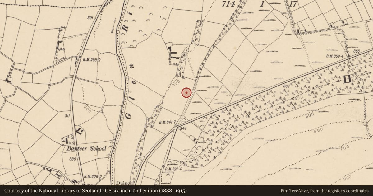
The record
- Townland
- Duinch
- County
- Cork
- Country
- Ireland
- Latest-edition OS map
- Not indicated
- Coordinates
- 52.11693, -8.88386
- SMR number
- CO031-160----
Slide toward Today to fade the historical sheet and see the modern map underneath.
David Rumsey Map Collection, Stanford LibrariesDavid Rumsey Map Collection, Stanford LibrariesDavid Rumsey Map Collection, Stanford LibrariesDavid Rumsey Map Collection, Stanford Libraries
4 historical maps cover this location, the earliest the 1790 map "Composite: Ireland." (David Rumsey Map Collection, Stanford Libraries).
Historical maps covering this location
- 1790 · Composite: Ireland. (David Rumsey Map Collection, Stanford Libraries)
- 1882 · Ireland (southern half). (David Rumsey Map Collection, Stanford Libraries)
- 1883 · Ireland 3. (David Rumsey Map Collection, Stanford Libraries)
- 1904 · Sheet 13. (David Rumsey Map Collection, Stanford Libraries)
This record in the National Monuments Service's Historic Environment Viewer ↗
The National Monuments Service's description
According to McCracken (1957, 128), there was a charcoal-burning ironworks at Clonmeen which was built about 1660 by Sir Richard Kyrle and had '...ceased by 1685.' The exact location of this metalworking site is unknown.
The above description is derived from 'The Archaeological Inventory of County Cork. Volume 5' (Dublin: Stationery Office, 2009).
Date of upload: 22 December 2009
…………………………………………………………………………………………….
The following information was supplied by UCC MA student P. Rondelez:
Td.: Duinch Map CO031 By.: F.w.: P. Rondelez
Class: Ironworks Grid ref. 139505, 096428 OD c. 105 m Map: CO031 Not Indicated
Located along the southeast edge of a grasland field. Glassy, dark green slag is visible on the surface. This is probably the site of the blast furnace worked by Richard Kyrle between 1660 and 1685. If the stream noted in the adjacent field to the west on the 1830's OS 6-inch map is the tail race, the furnace itself must located nearer to the western edge of the grasland field. 01-11-2010
(Denis Power 14th Jan. 2011)
………………………………………………………………………………………….
Nearby in the register
- Schoolunder 1 mi
- Enclosureunder 1 mi
- Churchunder 1 mi
- Ringfort - rathunder 1 mi
Other entries of the same register within about three miles of this one, by straight line.