Sites and Monuments Record · Ireland
Megalithic structure
Milltown, County Clare, Ireland
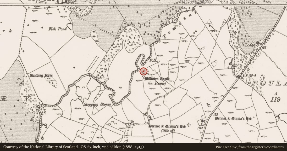
The record
- Townland
- Milltown
- County
- Clare
- Country
- Ireland
- First-edition OS map
- Not indicated
- Latest-edition OS map
- Not indicated
- Coordinates
- 52.87464, -8.79777
- SMR number
- CL035-143----
Slide toward Today to fade the historical sheet and see the modern map underneath.
David Rumsey Map Collection, Stanford LibrariesDavid Rumsey Map Collection, Stanford LibrariesDavid Rumsey Map Collection, Stanford LibrariesDavid Rumsey Map Collection, Stanford Libraries
4 historical maps cover this location, the earliest the 1753 map "Mappa geographica Regni Hiberniae" (David Rumsey Map Collection, Stanford Libraries).
Historical maps covering this location
- 1753 · Mappa geographica Regni Hiberniae (David Rumsey Map Collection, Stanford Libraries)
- 1790 · Composite: Ireland. (David Rumsey Map Collection, Stanford Libraries)
- 1869 · Ireland. (David Rumsey Map Collection, Stanford Libraries)
- 1891 · Ireland 16 (David Rumsey Map Collection, Stanford Libraries)
This record in the National Monuments Service's Historic Environment Viewer ↗
The National Monuments Service's description
At the base of the rock outcrop on which is built Ballymullen Castle (CL035-005002-), in gently undulating pasture, c. 30m to SE of the Kiltanon River. Listed as a 'Megalithic structure (possible)' in the SMR (1992). According to Westropp (1902-04, 112(a)), this feature was situated, ‘not far north of the……ivied peel-tower of Milltown…….among the crags.’ It is described as ‘a large, rugged block of limestone, supported on lesser stones. It is apparently artificial, and formed a cist of different and ruder type than the others in the townland’ (ibid.). On inspection in 2017 a number of large, irregular limestone erratics were noted around the base of the outcrop, however none of these appear to be forming a coherent structure and have been deposited in a haphazard fashion.
Compiled by: Mary Tunney
Date of upload: 15 November 2017
References
Westropp, T.J. 1902-4 The cists, dolmens, and pillars in the eastern half of the county of Clare. Proceedings of the Royal Irish Academy, 24C, 107-131.
Nearby in the register
- Castle - tower houseunder 1 mi
- Megalithic tomb - wedge tombunder 1 mi
- Megalithic tomb - wedge tombunder 1 mi
- Cistunder 1 mi
Other entries of the same register within about three miles of this one, by straight line.