Sites and Monuments Record · Ireland
Cremated remains
Cahermackirilla, County Clare, Ireland
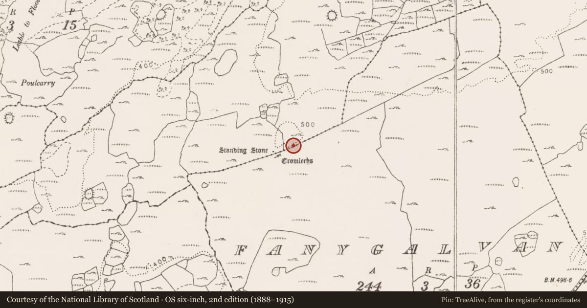
The record
- Townland
- Cahermackirilla
- County
- Clare
- Country
- Ireland
- First-edition OS map
- Not indicated
- Latest-edition OS map
- Not indicated
- Coordinates
- 53.01986, -9.11208
- SMR number
- CL009-084031-
Slide toward Today to fade the historical sheet and see the modern map underneath.
David Rumsey Map Collection, Stanford LibrariesDavid Rumsey Map Collection, Stanford LibrariesDavid Rumsey Map Collection, Stanford LibrariesDavid Rumsey Map Collection, Stanford Libraries
4 historical maps cover this location, the earliest the 1753 map "Mappa geographica Regni Hiberniae" (David Rumsey Map Collection, Stanford Libraries).
Historical maps covering this location
- 1753 · Mappa geographica Regni Hiberniae (David Rumsey Map Collection, Stanford Libraries)
- 1790 · Composite: Ireland. (David Rumsey Map Collection, Stanford Libraries)
- 1869 · Ireland. (David Rumsey Map Collection, Stanford Libraries)
- 1891 · Ireland 16 (David Rumsey Map Collection, Stanford Libraries)
This record in the National Monuments Service's Historic Environment Viewer ↗
The National Monuments Service's description
During the first season of a research excavation on a complex of prehistoric monuments, a cremated burial was uncovered on the N side of a cairn (CL009-084010-). It was found between two ‘layers’ of the cairn material. One complete blue glass bead and three fragments of other blue glass beads were found, as well as a clear piece of quartz (Grant 2004, 29, no. 112). Subsequent analysis identified the remains as those of an adult human (ibid., 2006, 553, AD9). (ibid., 1995-31-3)
Compiled by: Olive Alcock and Conn Herriott
Date of upload: 3 May 2022
References
Grant, C. 2004 Cahermackirilla. In I. Bennett (ed.), Excavations 2002: summary accounts of archaeological excavations in Ireland, 29, no. 112. Bray. Wordwell.
Grant, C. 2006 Fanygalvan/Cahermackirilla. In I. Bennett (ed.), Excavations 2003: summary accounts of archaeological excavations in Ireland, 553. Bray. Wordwell.
Grant, C. 1995. Mapping a Bronze Age Burren landscape. Archaeology Ireland 9, no. 1, 31-3.
Nearby in the register
- Cairn - unclassifiedunder 1 mi
- Hut siteunder 1 mi
- Standing stoneunder 1 mi
- Megalithic tomb - wedge tombunder 1 mi
Other entries of the same register within about three miles of this one, by straight line.